|
A day on the way home form working in Aberdeen. Anne
came up by train to Dundee, and we stayed in a very nice
farmhouse B&B just north of Kirreimuir.
It was beautiful bright morning as we drove up Glen
Clova. Unfortunately, the sky soon became overcast.
However, it remained dry all day.
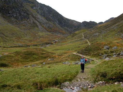
We set off at 10am from the car park at the top of the
road, and followed "Jock's Road" up through Glen Doll forest
- track, then path through the trees. After about 4km, the
apth led out of the forest into a lovely corrie, surrounded
by a band of crags. A good path led up the right hand side
of the corrie, gaining height steadily, then breaking
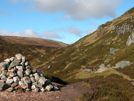
through the crags into an upper corrie. We paused for a
rest at the top of this, examining the bothy, and admiring
the view back doen from the cairn.
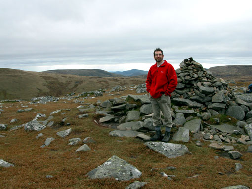
From here the path became a little indistinct, and we
found ourselves in the boggy valley floor, and had to climb
steeply up to the right to regian the path as it sloped up
the hillside on to the broad ridge, leading to Crow
Craigies, the first top of the day. The view opened up to
the Cairn
Bannoch and
Lochnagar
ranges to the north. It was now 12.10, so time for a spot
of lunch, before contiinuing across the moor and up to
Tolmount (1pm), a small rocky crown on the edge of rolling
moorland.
From Tolmount, we circled west, them south, then east,
over Ca Whins to Tom Buidhe, the next Munro. This involved
crossing some boggy moorland, but it was pretty dry
underfoot after a lengthy dry spell of weather. Both Munros
are really little more than outliers of the Glen Shee hills
- Cairn of
Claise and Carn
an Tuirc.
We descended easily over grassy slopes SE from Tom
Buidhe, rejoining Jock's Road at the bothy, then following
it back down the corrie, throught the woods to the car park.
|