16th July 2012
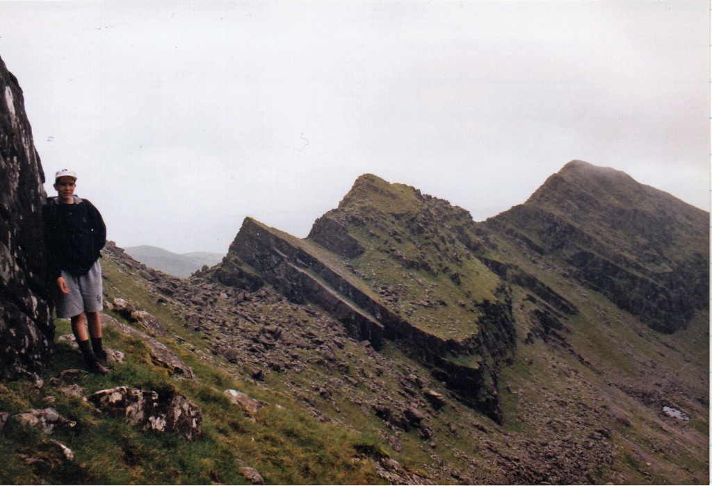
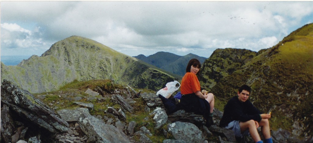
With Lugnaquilia and Galtymore climbed, it was time to head for the southwest and County Kerry. Back in 1998, we had holidayed in Kerry. Iain (then aged 15) and I had climbed Brandon Mountain, then a few days later, Iain, Catherine and I had done the round of Caher, Carrauntoohill and Beenkeragh.
Both were great days, although the highest summits had been in the mist on both walks; Lugnaquilia and Galtymore had continued that damp Irish tradition.
So, all that remained on my target list were the 5 tops of McGillycuddy’s Reeks.
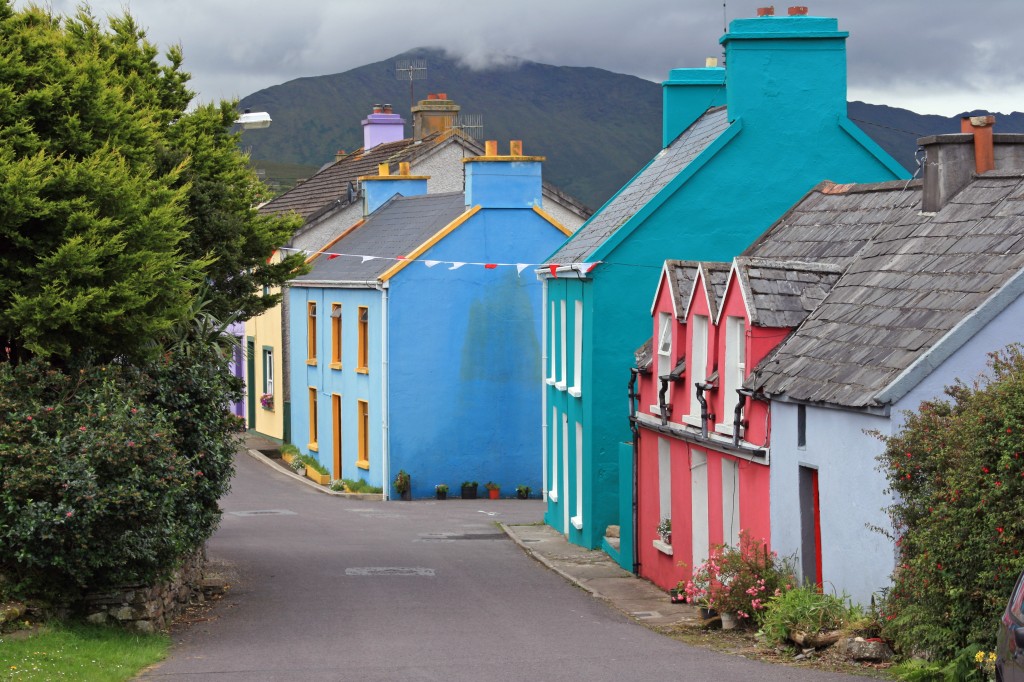
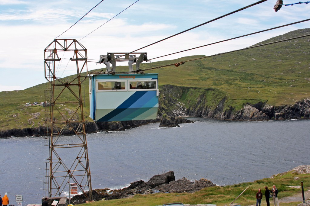
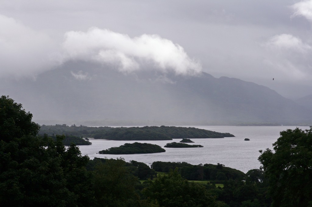
We camped just west of Kenmare on the Beara peninsula, and for several days the cloud stayed stubbornly low. The “reeks” were well named! Meanwhile, we made the best of it by exploring the Beara peninsula, with its colourful villages and amazing “heath-robinson” cable car to Dursey Island.
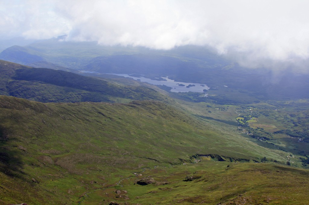
After a few days, we decided that it would be better to be nearer the mountains, so we drove over Moll’s Gap to camp at Fossa, just north of Killarney. From the campsite, we could see the “reeks”, still with their heads in the clouds!
Our first morning started drizzly, but I decided to go for it anyway – otherwise, we might have to wait long enough for a clear day! Anne declined to join me, and instead enjoyed a 25 mile cycle round the Killarney loughs.
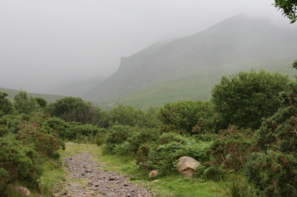
A short drive up some narrow roads took me to Cronin’s Yard – a small group of houses including a gift shop and eatery. I was the only car in the car park at 10am. However, the forecast was set to improve, so I set off up the broad track towards Hags Glen. Some guys were busy starting to erect a marquee in the field just beyond the car park. Not sure who was more to be pitied – them struggling with the canvas in the drizzle, or me setting off towards a murky mountain range!
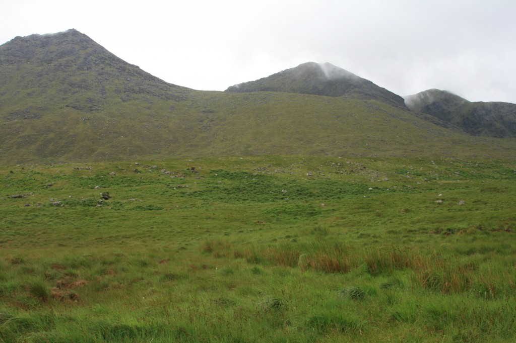
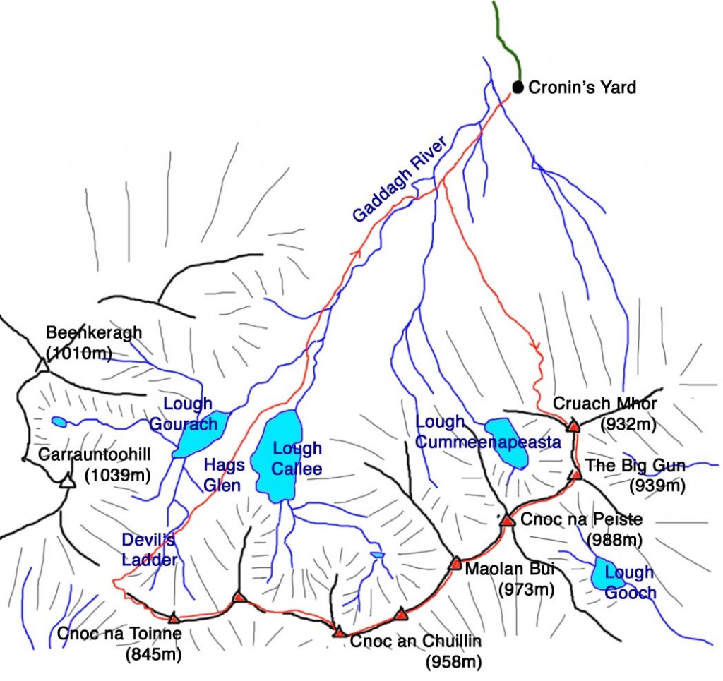
To begin with, I followed the main path towards Carrauntoohill, Ireland’s highest peak, but that wasn’t my destination. Instead, after about 1km, I headed off to the left across a gradually rising moor towards the bulk of Cruach Mhor.
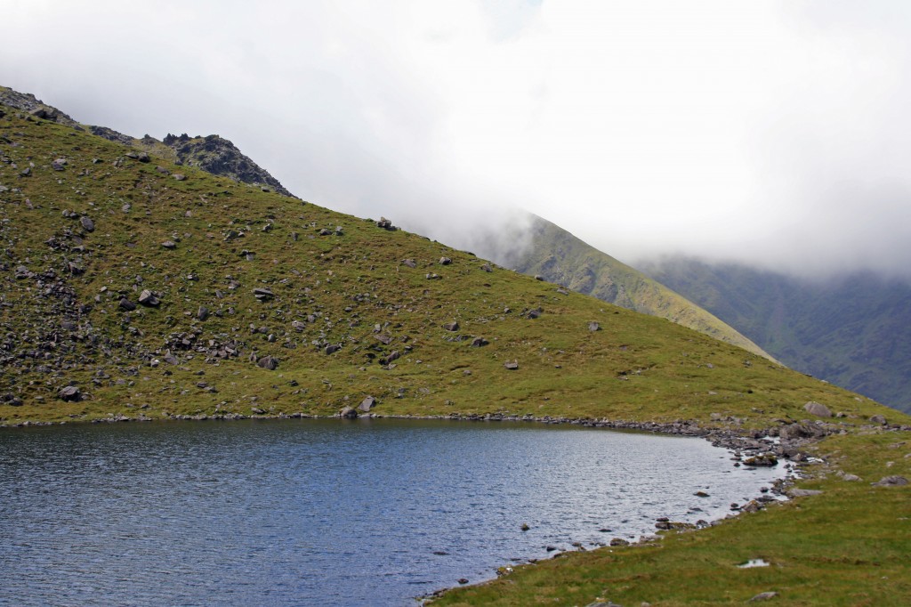
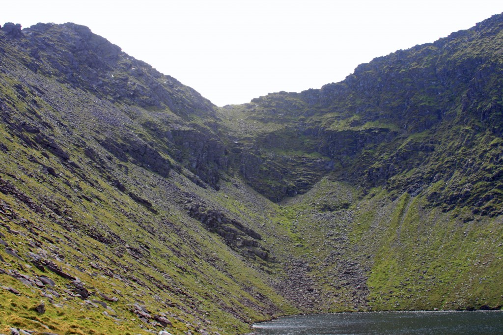
The ground gradually steepened, and I zig-zagged up on to Cruach Mhor’s west shoulder. The drizzle has stopped, the air was warm, and the cloud base had risen to reveal the tops. Unlike many mountains, Cruach Mhor’s summit cairn is clearly visible from below, but it was a long slog to get there. At about 700m, Lough Cummeenapeasta came into view, sitting in its beautiful coire, below the 3 eastern peaks: Cruach Mhor, The Big Gun and Cnoc ne Peiste (Hill of the beast).
Onward and upward – a steep scramble up a bouldery slope – and suddenly, after 2 hrs 15 mins, I arrived at the first summit. The mist was just above summit level, allowing about 10 minutes of views before it closed in around me.
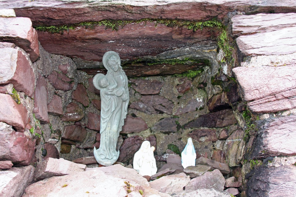
Cruach Mhor’s summit cairn has a strange grotto in its north side. Apparently, the whole cairn and grotto were built by a local farmer who carried all the cement up in sacks on his back. One ascent with a small rucsac was enough for me – although it would be nice to go back along the “reeks” on a sunny day with clear views …
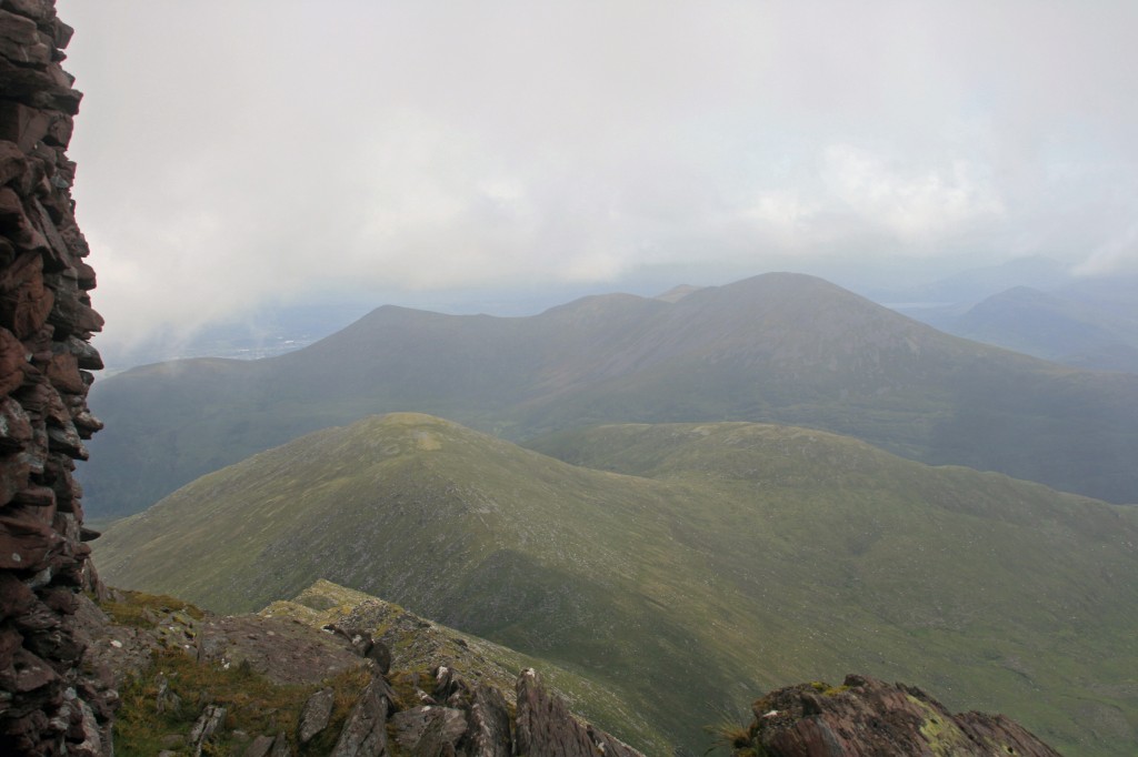
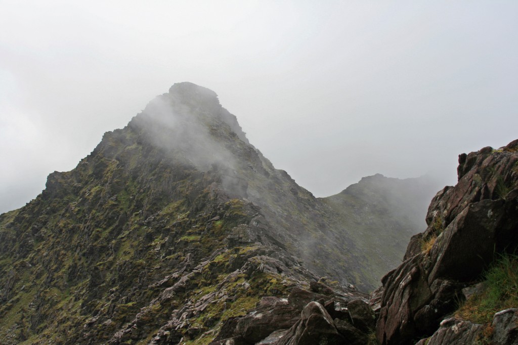
It was time for some lunch, so a 15 minute rest on the summit, before setting off along the rough narrow ridge towards An Gunna Mor (The Big Gun). The ridge looked fun – almost Cuillin-like in roughness. The cloud was still coming and going, and a strong wind was blowing across the ridge.
Although only about 500m away along the ridge, with a drop of about 50m, the ridge took 25 minutes to negotiate, with some interesting scrambles and dodging from one side of the ridge to the other. A 10 minute rest was enough on The Big Gun’s tiny summit, as the view had gone, and I was running about half and hour behind my estimated schedule.
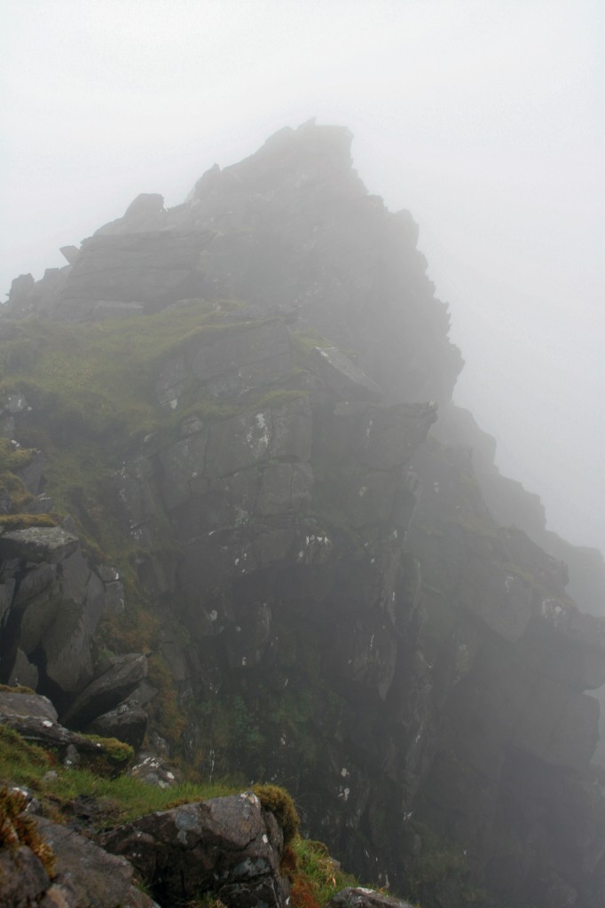
Pushing on from The Big Gun, the ridge continued rocky. To Cnoc na Peiste was about 700m in distance, with a drop and rise of about 70m.
Again, just over half an hour of entertaining scrambling, and I arrived on the summit of Cnoc na Peiste – the third “furth” of the day, and the highest of the “reeks”. By now the view had well and truly disappeared, so there was no point loitering on this, or any of the subsequent tops. Progress was now much faster, as the narrow rocky ridge gave way to a grassy one beyond Cnoc na Peiste. Mostly, the ground sloped away down steep grassy/scree slopes to the south, and into craggy corries to the north, but I didn’t see very much of either. So.. no photos for this section!
10 minutes from Cnoc na Peiste to Maolan Bui, the 4th top, then 20 minutes over a slight bump on the ridge to the 5th top – Cnoc an Chuillin. This was my final 3000ft top in Ireland, but no celebration – just a 5 minute rest, then on downhill to a col at 768m, before a rise to one more lower top, Cnoc na Toinne (845m). Beyond this top, the ridge narrowed, and turned into an unpleasant and unavoidable peaty mess. I was glad to reach the 734m col at the top of the Devil’s Ladder.
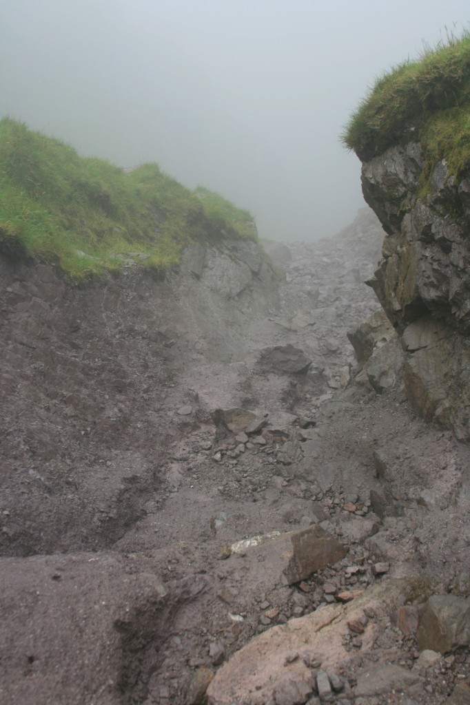
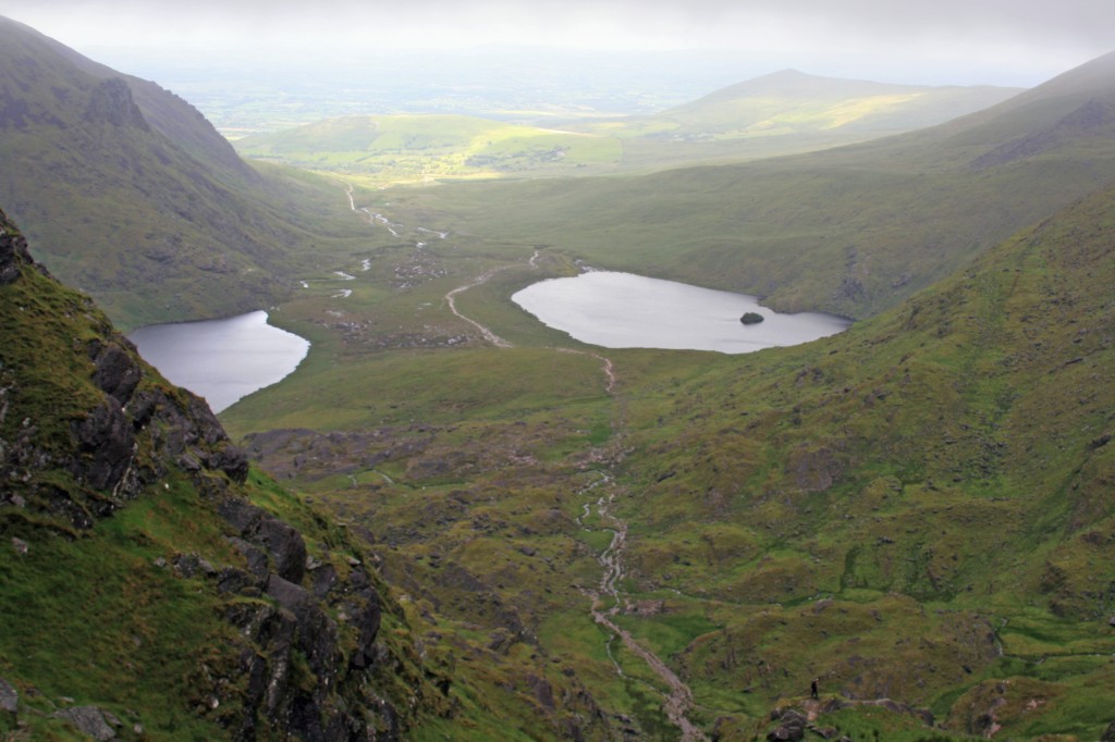
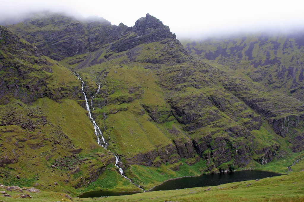
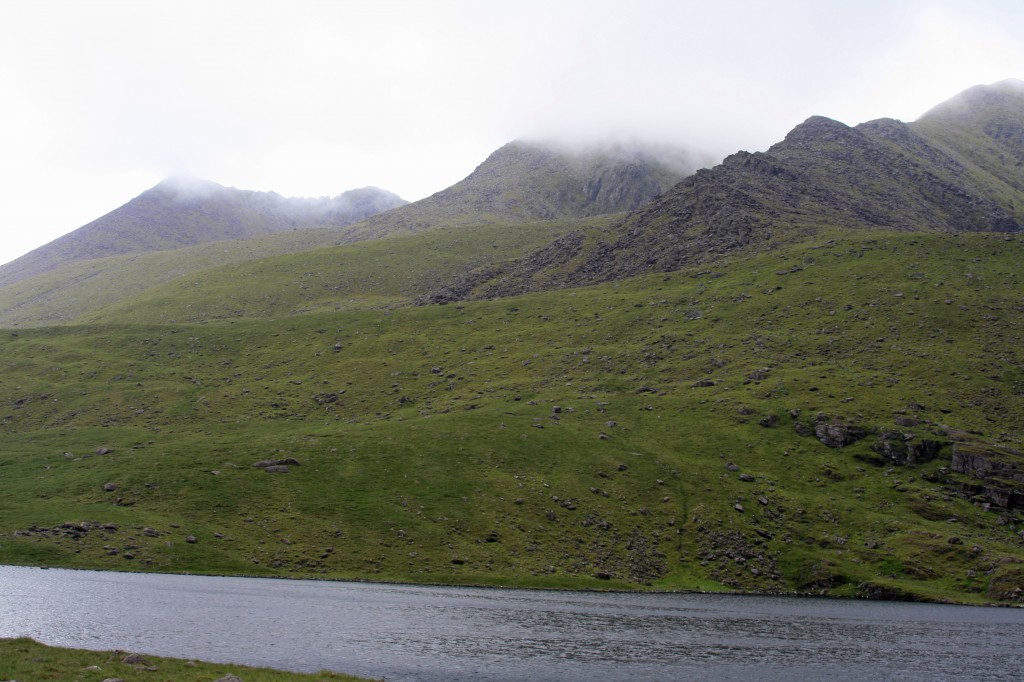
The Devil’s Ladder proved to be a rather undignified slither down rock, mud and scree, but did have the benefit of being a relatively quick descent! 15 minutes later, I was below the cloud and at the head of Hags Glen, with Lough Gouragh to my left and Lough Callee to my right.
I was back on the broad “main road” path from Carrauntoohill, and in just over an hour I was back to Cronin’s Yard. The workmen were still at work on the marquee!
Summary:
5 Furths
12 km walk
1100 m climb
7 hours
Log:
| Cronin’s Yard (145m) | 10:20 | |
| Cruach Mhor (932m) | 12:35 – 12:50 | |
| The Big Gun (939m) | 13:15 – 13:25 | |
| Cnoc na Peiste (988m) | 14:00 – 14:10 | |
| Maolan Bui (973m) | 14:20 – 14:30 | |
| Cnoc an Chuillin (958m) | 14:50 – 14:55 | |
| top of Devil’s Ladder (734m) | 15:35 | |
| Hags Glen (400m) | 16:10 | |
| Cronin’s Yard | 17:20 |
(written and uploaded 21/09/13)

Pingback: A practical guide to climbing Ireland’s ‘munros’ – Wild about Scotland