6 July 2013
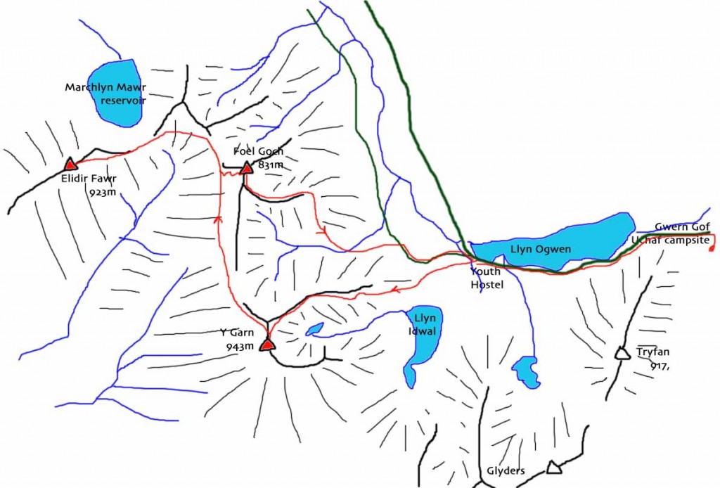
We woke to find yesterday’s blue skies had disappeared, but the cloud was high, so decided to make to most of it and head off to climb Y Garn and Elidir Fawr. These two mountains form the western continuation of the Glyders towards Llanberis. Elidir Fawr’s western slopes are the site of the massive slate quarry overlooking Llanberis, and now the location of longest zip wire in Europe!
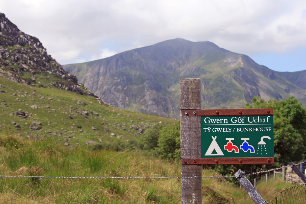
We planned to begin our walk for Ogwen Youth Hostel, only a mile or two down the road from the camp site, so set off at 9.30am on our bikes, and were soon at our starting point. We followed the path to the left of the under-construction new visitor centre, up a quarried gully, then across the moor towards the foot of Y Garn’s northeast ridge.
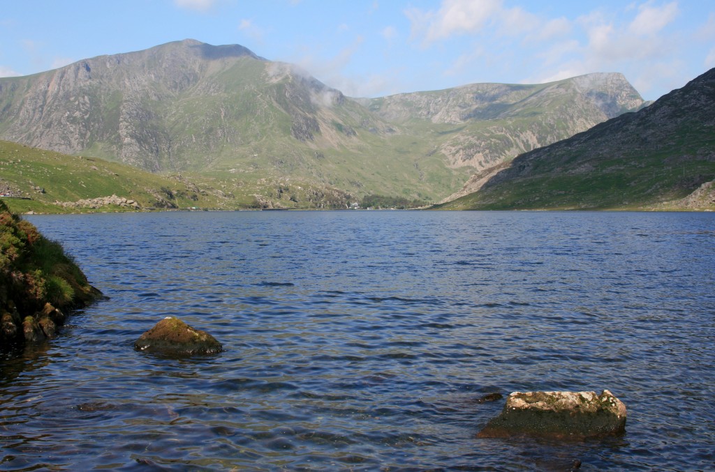
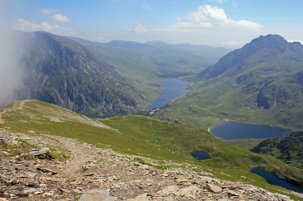
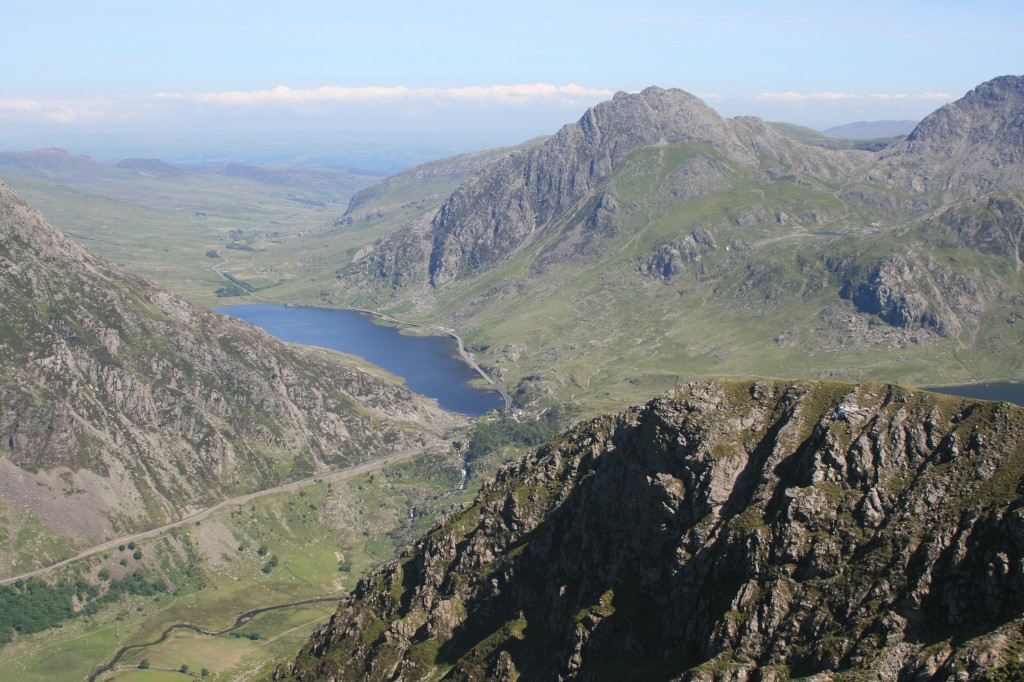
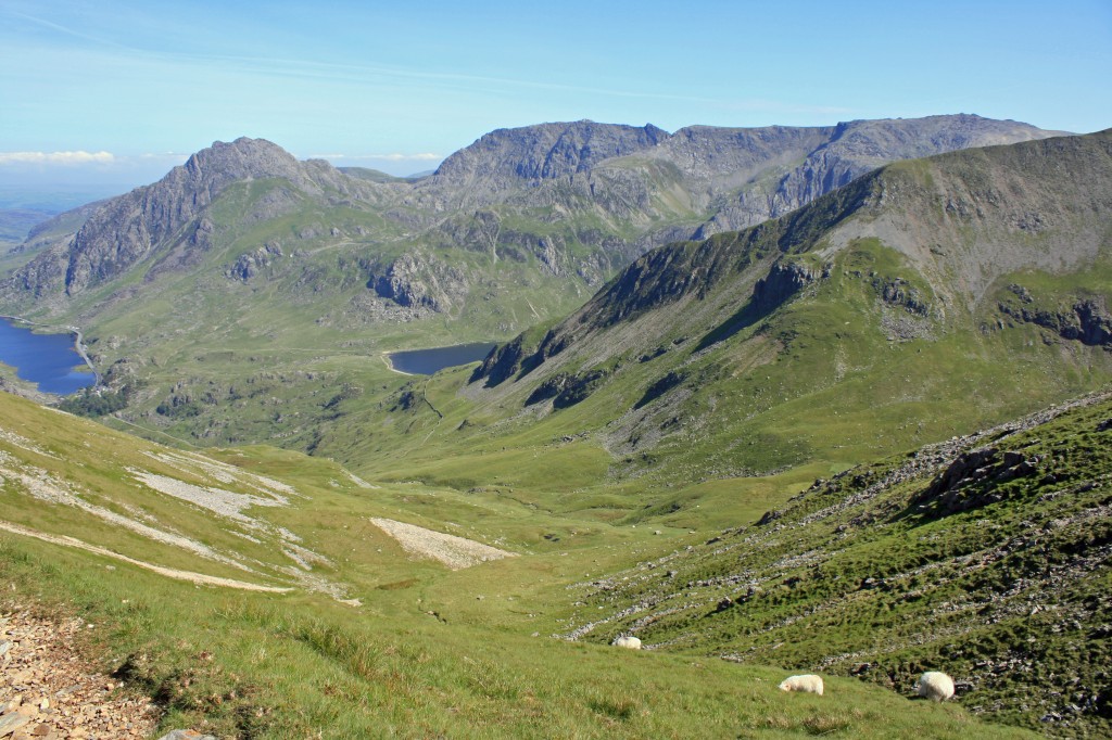
We followed the engineered path as it zig-zagged up the steep initial ridge, making good progress as the early cloud started to break up and the heat of the day developed. After the first steep section, the path became rougher, with excellent views back down to Llyn Ogwen, across to Tryfan and the Glyders, and down the Ogwen valley.
We followed the path as it curved to the right, then on up to the left towards the summit ridge. Below, we watched a large group moving apparently aimlessly around Cwm Clyd (perhaps searching for some botanical rarity?)
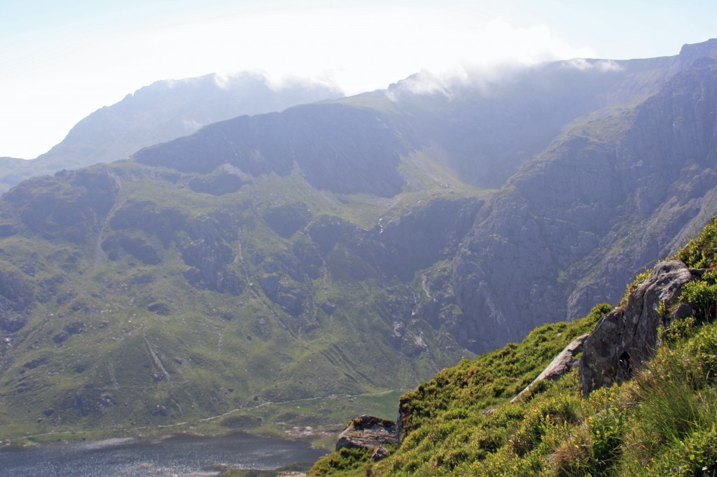
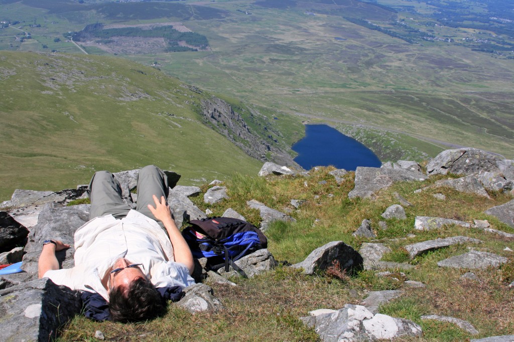
A final push brought us to the summit ridge, where mist was rolling in and over from the southwest. Turning to the left, it was only a five minute walk to the rocky summit of Y Garn. The mountain has two contrasting aspects – to the north and east, it falls away into a deep craggy cwm, while to the south and west, the slopes are smooth and green. We sat above the crags and enjoyed the view, while the mist came and went around us.
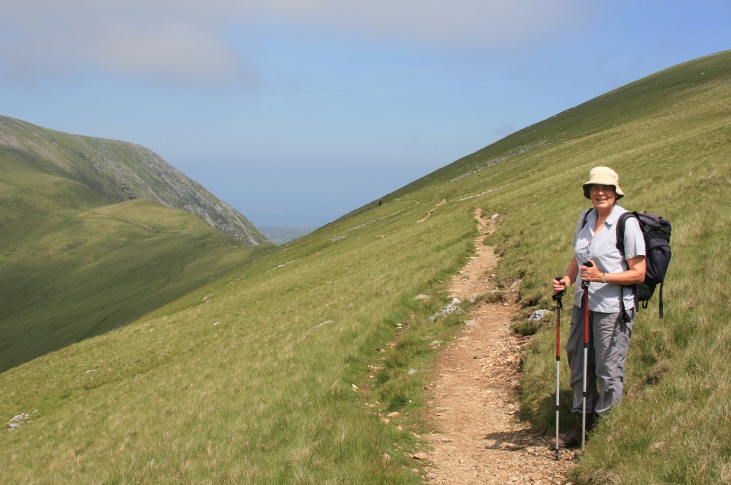
From Y Garn, we headed back west, continuing down stony slopes to the 750m col between Y Garn and Foel Goch. Although only a mile away, to reach Elidir Fawr we had to detour round the head of the deep valley, Cwn Dudodyn. Fortunately, an excellent level path contoured across the side of Foel Goch to the next col, then on around the head of the cwm, below Mynydd Perfedd.
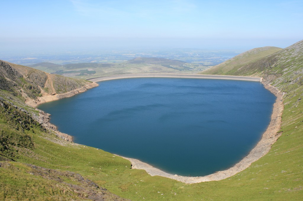
Beyond Mynydd Perfedd, the ridge narrowed to a third, and very narrow, col with a fantastic view down to the Marchlyn Mawr reservoir.
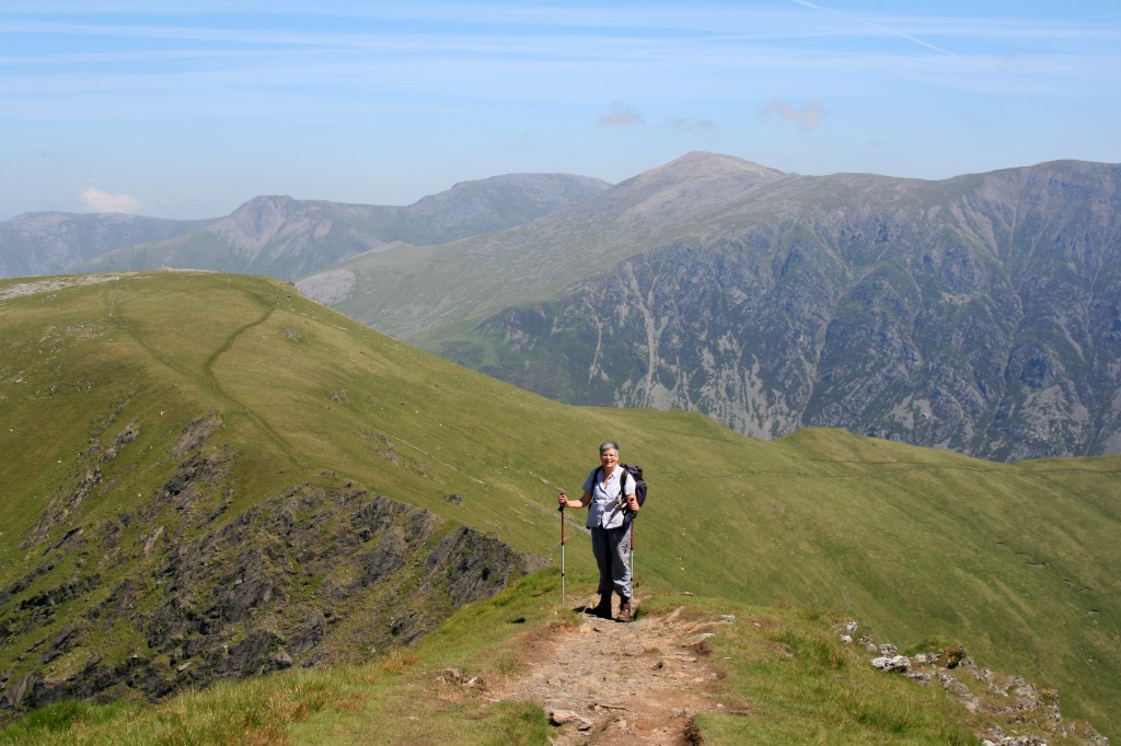
A winding path continued up the ridge to Elidir Fawr’s massive bouldery summit cone.
Time for a lengthy rest in the now beautifully sunny afternoon’s warmth.
Although hazy, there were good views across to Anglesey and to Snowdon.
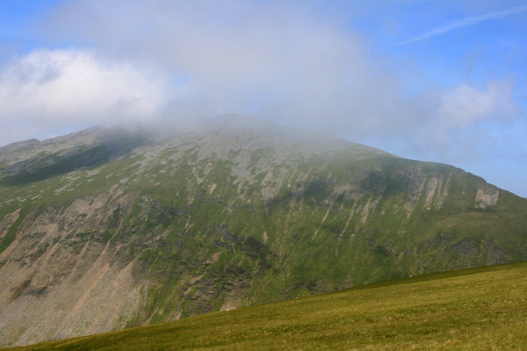
We returned down the same path, past the reservoir col, round the head of Cwn Dudodyn to the next col below Foel Goch. Instead of contouring along behind Foel Goch, we decided to climb up its steep western nose, 150m of steep ascent, to the grassy summit plateau.
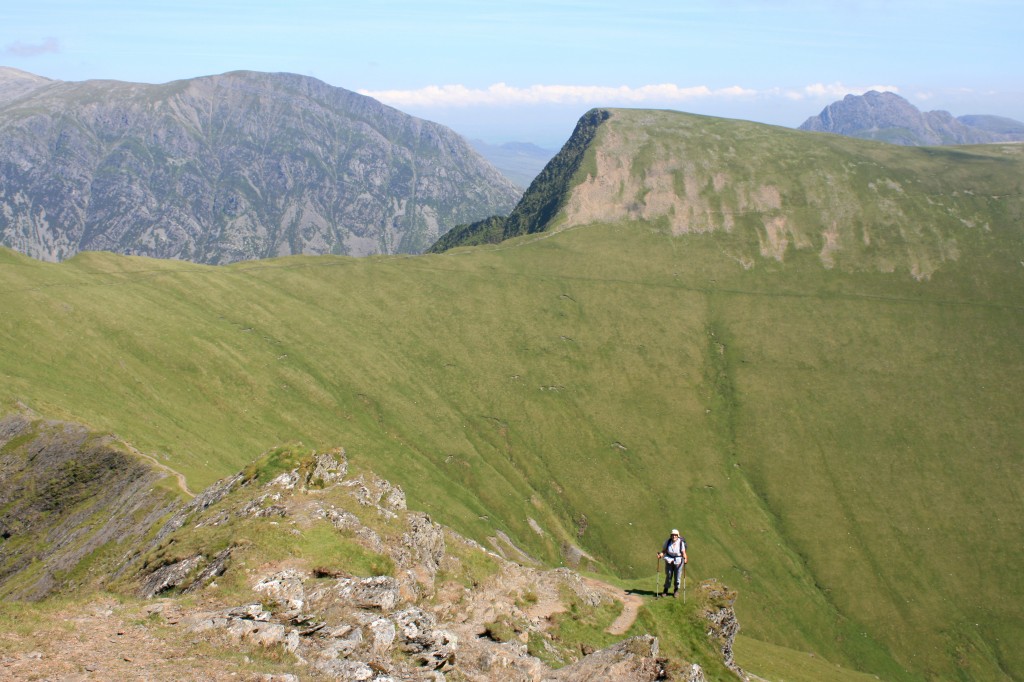
The summit had no cairn – simply a fence running along it. We crossed the fence and headed off down the grassy slopes towards the spur ridge, Y Llymllwyd (“the sharp brown”)(?), which looked like a good descent route.
This proved to be a lovely little ridge leading out to a high point overlooking the valley. At its extreme end, a small path set off down the hillside above the quaintly-named “mushroom garden”, and we followed this all the way down to the little back road, 400m below.
It was now very hot, and we were glad to reach the shade of the trees at Ogwen Cottage where we had left our bikes. 20 minutes later, we were back at the campsite, two more Welsh 3000s safely explored.
Summary:
6 km cycle
10 km walk
850 m climb
8 hours
Log:
| Gwern Gof Uchaf camp site |
09:30 |
| Ogwen Cottage YH (300 m) | 09:50 |
| Y Garn (947 m) | 11.50 – 12.15 |
| Elidir Fawr (924 m) | 13:50 – 14:30 |
| Foel Goch (831 m) |
15:35 |
| Ogwen Cottage YH (300 m) | 17:10 |
| Gwern Gof Uchaf camp site | 17:30 |
(written and uploaded 03/01/14)

