5 July 2013
It was overcast as we left Selkirk, but we arrived in Snowdonia on a lovely evening, and set up camp at Gwern Gof Uchaf in the Ogwen valley, right below Tryfan’s north ridge. A perfect evening for a stroll down to Llyn Ogwen. Would the good weather hold?
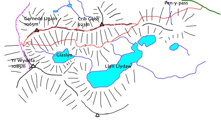
Next morning was bright and sunny, so we decided to make the most of it and headed off to Pen-y-Pas to climb Crib Goch (“red ridge”). Arriving at just before 9.15am, we were just in time to get the last parking space (at £10 for the day). Five minutes later, and we would have had to park 2 km away at Pen-y-Gwrd. I hate to think what it must be like on a Saturday!
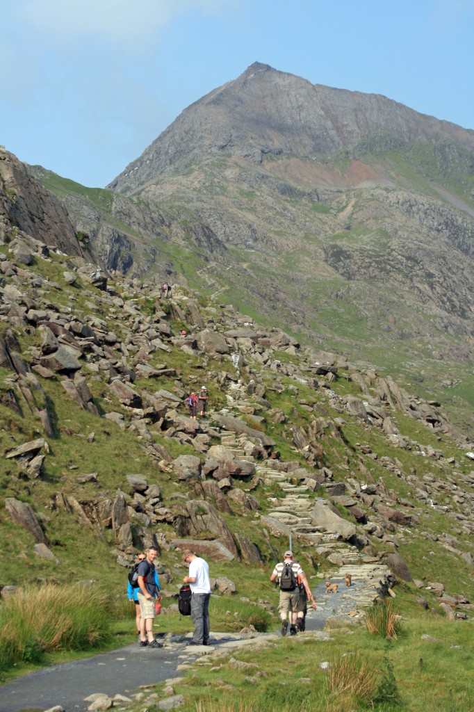
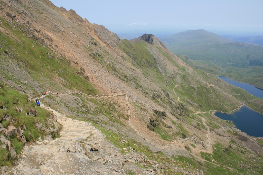
And so, at 9.30am, we set off with many other walkers, up the well-built path (the “Pyg” Track) that leads to the summit of Snowdon.
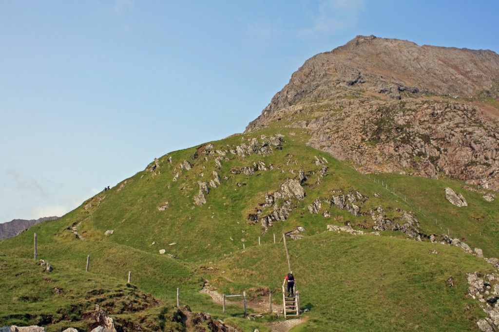
From a 359m start, we climbed steadily up to the Bwlch y Moch (“pig’s pass”) at 569m, where the Crib Goch path splits off from the Pyg path. Taking a deep breath, we set off towards the dramatic crags of Crib Goch’s east ridge towering above us. Unlike the previous time, we could see clearly the terrain ahead, and could see small coloured dots moving slowly up towards the summit.
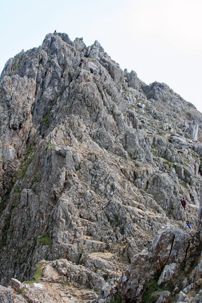
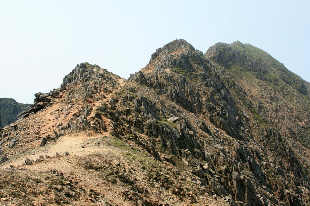
Initially, the path was clear, winding its way through rocky and grassy knolls to the foot of the rocky section.
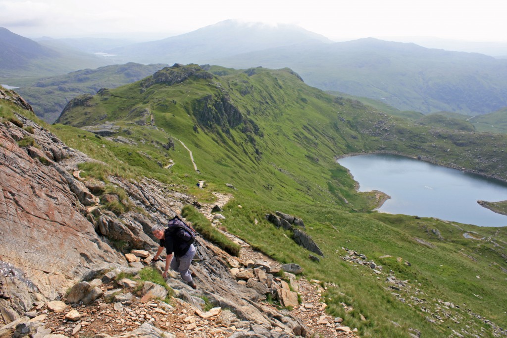
Now the way ahead became less clear, and we watched for a while as groups ahead tried different routes, and made slow progress. We selected a route that seemed promising, and scrambled carefully upwards. After the initial steep section, the broken ground ahead became easier, although still rough and rocky all the way to the end of the ridge.
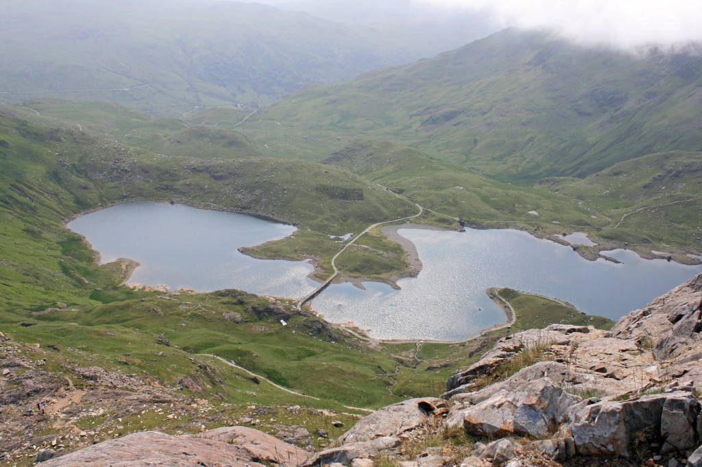
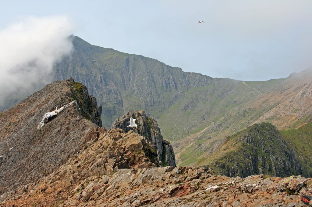
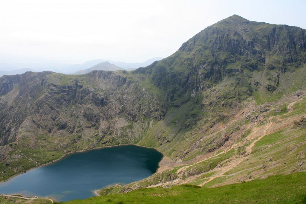
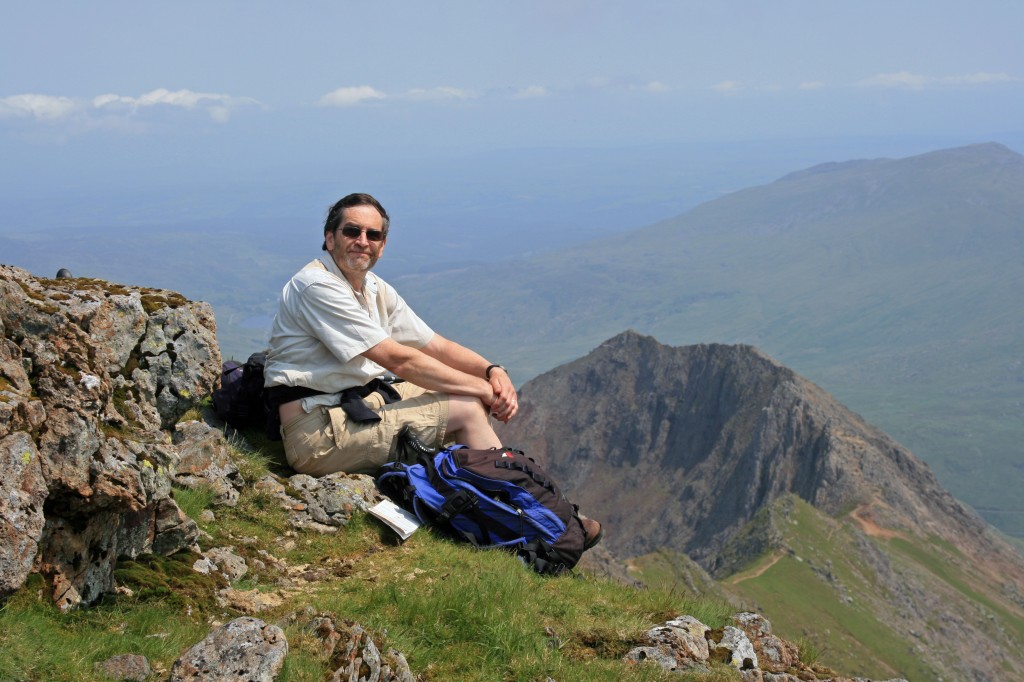
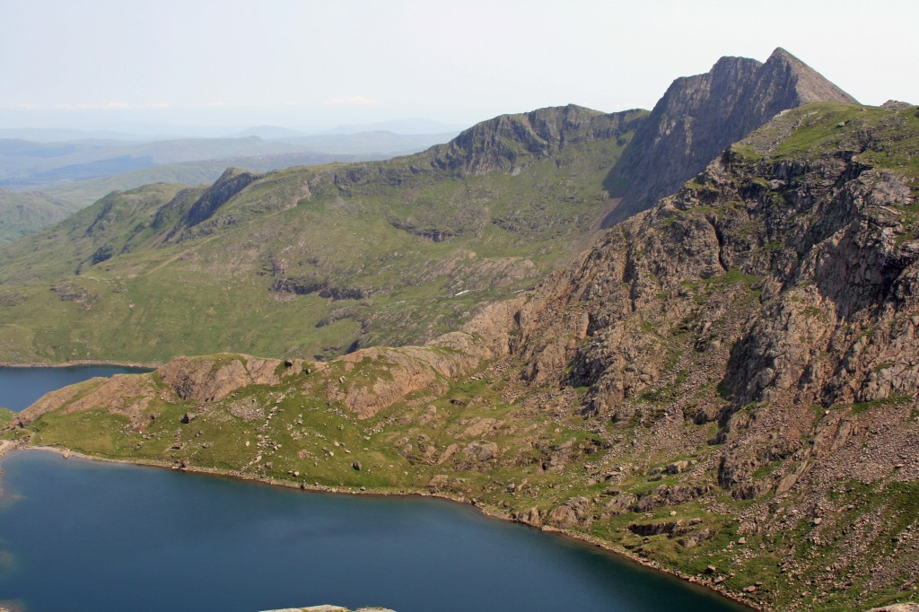
At 11.25, we reached the start of the ridge – a busy place! – and the dramatic view opened up. To the left, Y Lliwedd towering over Llyn Llydaw. Next, the main bulk of Yr Wyddfa. Straight ahead, the knife-edged ridge leading to the actual summit of Crib Goch, and falling away dramatically on its right side. And, to the right, the Pass of Llanberis. Time to sit down and admire the view, have a bite to eat and drink, and contemplate the route ahead.
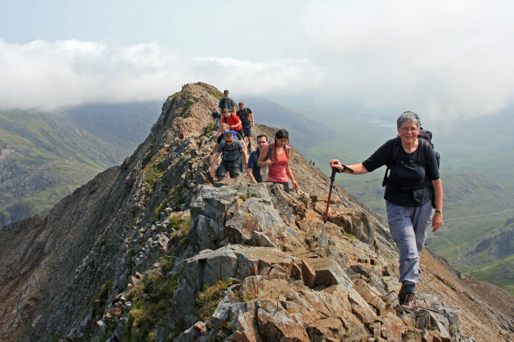
By now, the route was becoming pretty crowded, and we set off with a group ahead of us and another behind. Progress was slow, as there were no passing places! Fortunately, everyone was heading the same direction.
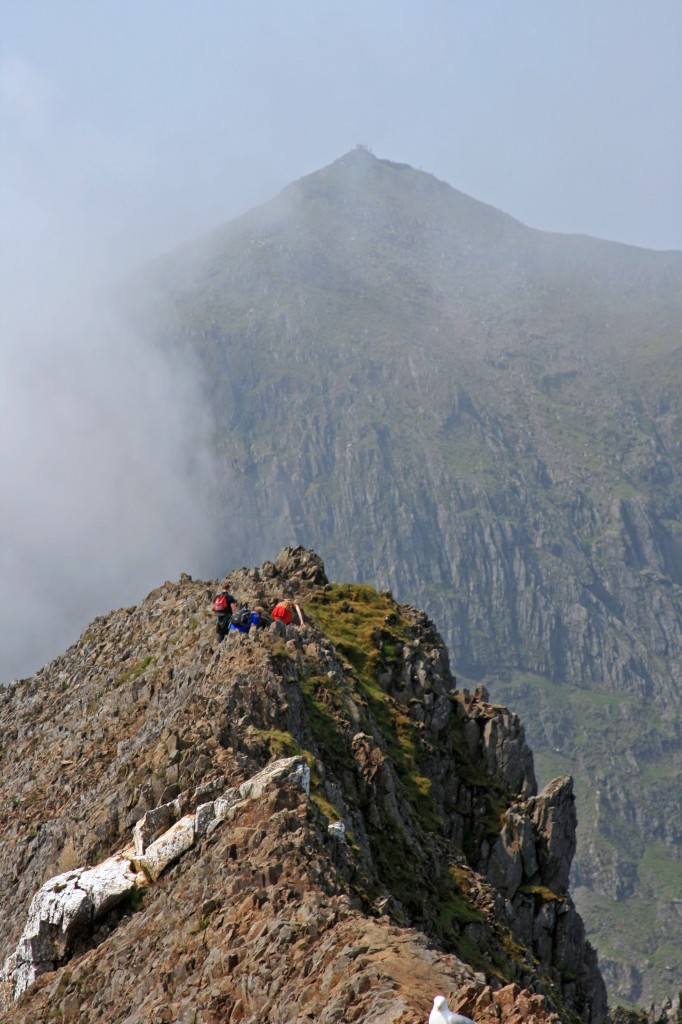
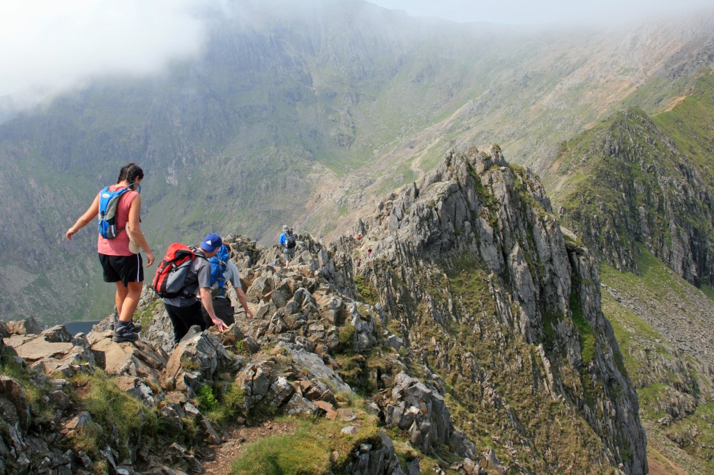
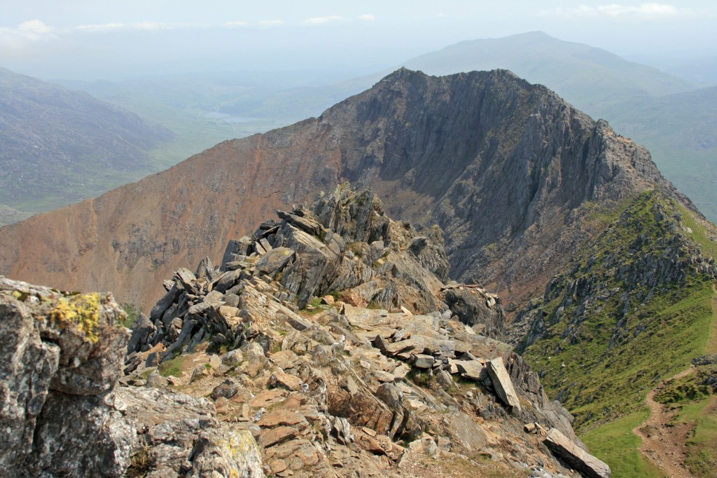
To the left a steep rocky slope dropped towards the Pyg Track, some 250m below; to the right, a sheer cliff fell 200m into Cwm Uchaf. We teetered along the knife edge between these alternatives for a couple of hundred metres to the next top!
Beyond this, the ridge dropped down towards some pinnacles.
The big group had moved ahead of us and it wasn’t clear how to cross the pinnacles – over or round? However, we joined up with another couple, and found the route down and to the left of the first pinnacle to the top of a rocky gully, then up over the right hand side of the second pinnacle, with fearsome drops to the right. The a smaller gap to scramble over the final pinnacle.
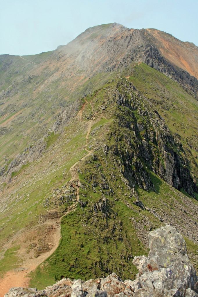
Once over, we breathed a sigh of relief – we had negotiated the hardest part (we thought!). An hour of exhilarating scrambling was behind us. Looking ahead the ridge was green, with just a few small crags as it climbed up from Bwlch Coch (“red pass”) towards Cry y Ddysgl (Garnedd Ugain). Technically, Crib-y-Ddysgl (“the ridge of the dish”) is the east ridge of Garnedd Ugain (“mountain of twenty”), but the names are commonly used interchangeably.
From the col, the views across to Yr Wyddfa were excellent.
Those “few small crags” provided some final interesting scrambling, including a steep climb up a gully with a chimney at the top, to reach the final part of the ridge.
We reached the top at 13.35, and found a fine spot with a view to sit and enjoy our lunch.
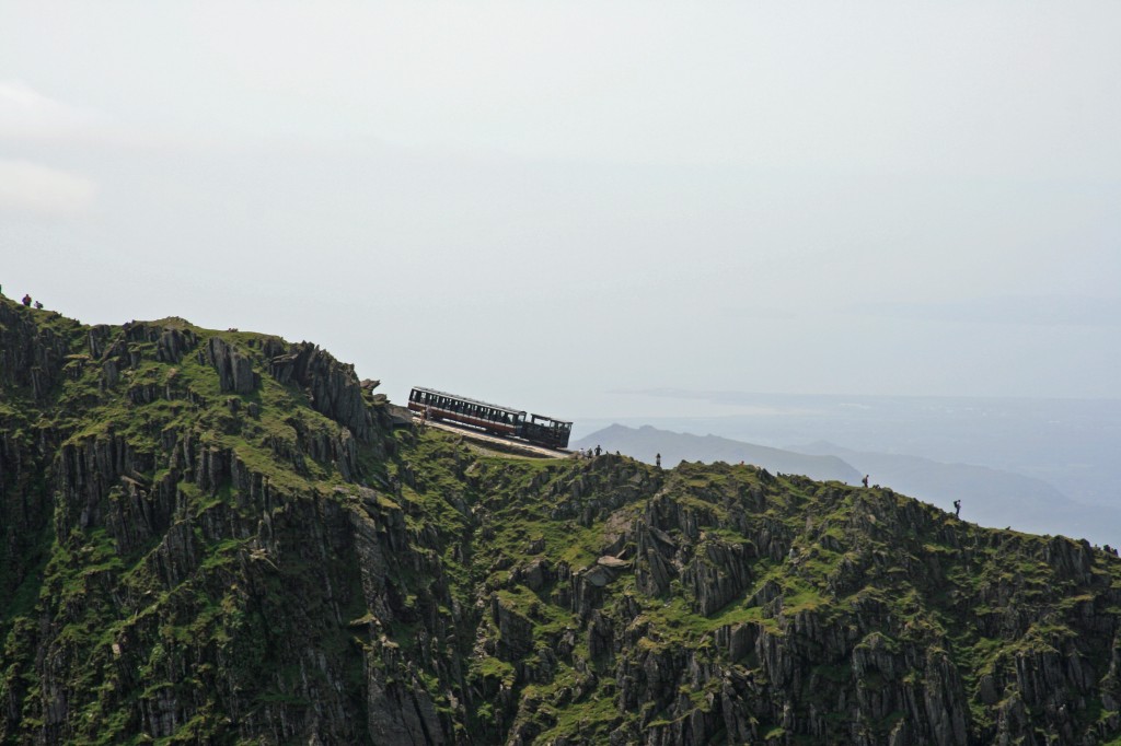
We could see the crowds trekking up the path to the summit of Snowdon, and decided that we had been there before, and didn’t really want to mingle with so many other people – Crib Goch had been quite busy enough! A visit to the new top station could wait until another time!
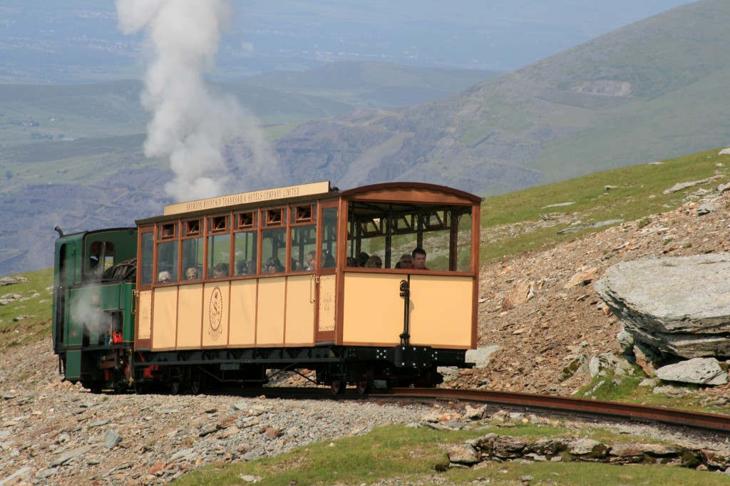
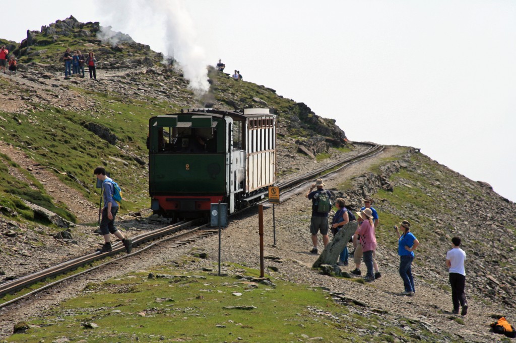
After a 20 minute lunch break, we wandered on down to the top of the Pyg Track. We had seen some trains earlier, but sadly all noisy diesels, but decided to wait to watch the next one pass. A good day became even better when a steam train appeared !
Now it was 1415, and time to descend – down the Pyg Track.
Although a good path all the way back down, it was a long and tiring tramp down hard rocky ground on tired legs after a hard first hill day of the summer! An hour and a half took us back to the col where we had started the ascent to Crib Goch, and another 45 minutes back to the car park.
Summary:
10 km walk
750 m climb
7 hours
Log:
| Pen-y-Pass (359m) |
09:30 |
| Bwlch y Moch (569m) | 10:15 |
| Crib Goch (923m) | 11.25 – 11.40 |
| Garnedd Ugain (1065m) | 13:35 – 13:55 |
| top of Pyg Path (998m) |
14:15 |
| Bwlch y Moch (569m) | 15:45 |
| Pen-y-Pass (359m) | 16:30 |
(written and uploaded 02/01/14)

I’m the other way round about the trains – I like the diesels (although I hate diesel cars for their fumes) but am not fussed about the steam trains. I suppose it depends what you had in your youth – we had DMUs. We had steam engines briefy when I was a very small girl but they terrified me, belching hot steam everywhere and that glowing hell inside!
It’s best to get the buses up to Pen-y-pass – cheaper, less bother, there’s around one an hour and it means you can descend any route you like and get the bus back again 🙂
Great photos of the ridge. I’ve approached a few times from Crib y Ddysgl but the pinnacles put me off each time!
Carol.