Dramatic fjord viewpoint in Norway

26 May 2015  Preikestolen

Climbed all the UK 3000ft mountains – where next?  Answer: Norway!

It had been a long-held ambition of mine to sail up the coast of Norway on a Hurtigruten voyage, perhaps to celebrate our 25th wedding anniversary.  But 2005 came and went, and life got a bit busy with work and family (and climbing a few Munros!).  However, we decided to go for it in 2015.  As usual, plans developed and grew legs.  Why not add a few days in Stavanger at the start of our trip, and hike to the iconic Preikestolen?

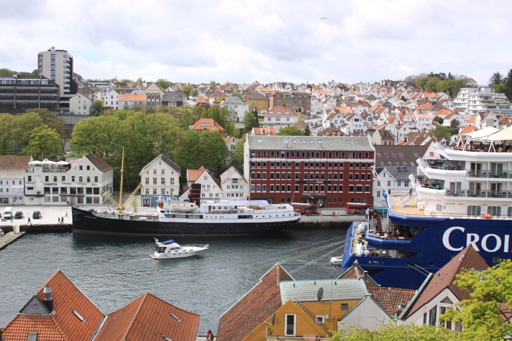
Stavanger Harbour

Stavanger Harbour

We had booked ahead with Tide, which included the ferry to Tau and the bus to the start of the walk.   And so, on a blowy but bright morning, we boarded the 09.20 ferry from Stavanger Fiskepiren (the pier was only 5 minutes walk from our hotel).

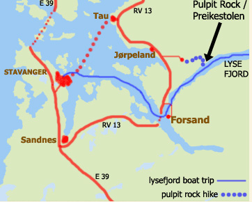
map of route from Stavanger to Preikestolen

route from Stavanger to Preikestolen

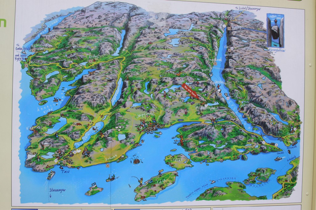
The ferry took 40 minute cross to cross to Tau, where a coach was waiting to take us through Jorpeland, then up a winding road through forest to a car park in the hills at Preikestolen Fjellestue, the starting point for the walk.  On the way, we were befriended by a French girl, Solange, travelling alone, who was glad to have companions who could speak a little French!

It was around 10.30 when we started on the walk, following a good trail leading uphill form the carpark.

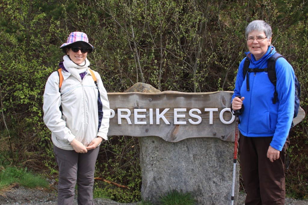
At the start of the walk

Anne and Solange ready to start


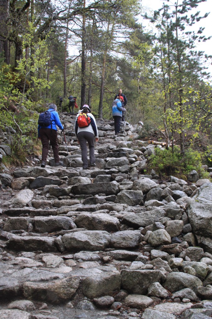
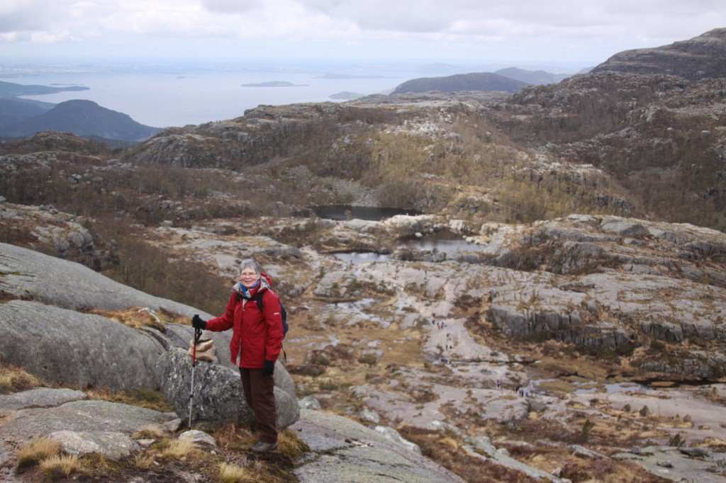
It was a lovely 2 hour walk up through woodland, up stone staircases, across boggy bits on duckboards, past some mountain lakes.

stone steps on the Preikestolen path

stone steps on the Preikestolen path


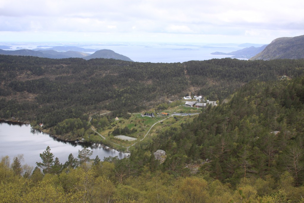
view back down to Fjellestue, with Stavanger in the distance

view back down to Fjellestue, with Stavanger in the distance

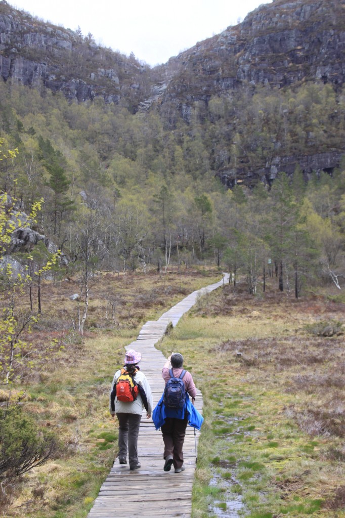
crossing the boggy bit on duckboard path

crossing the boggy bit on duckboard path

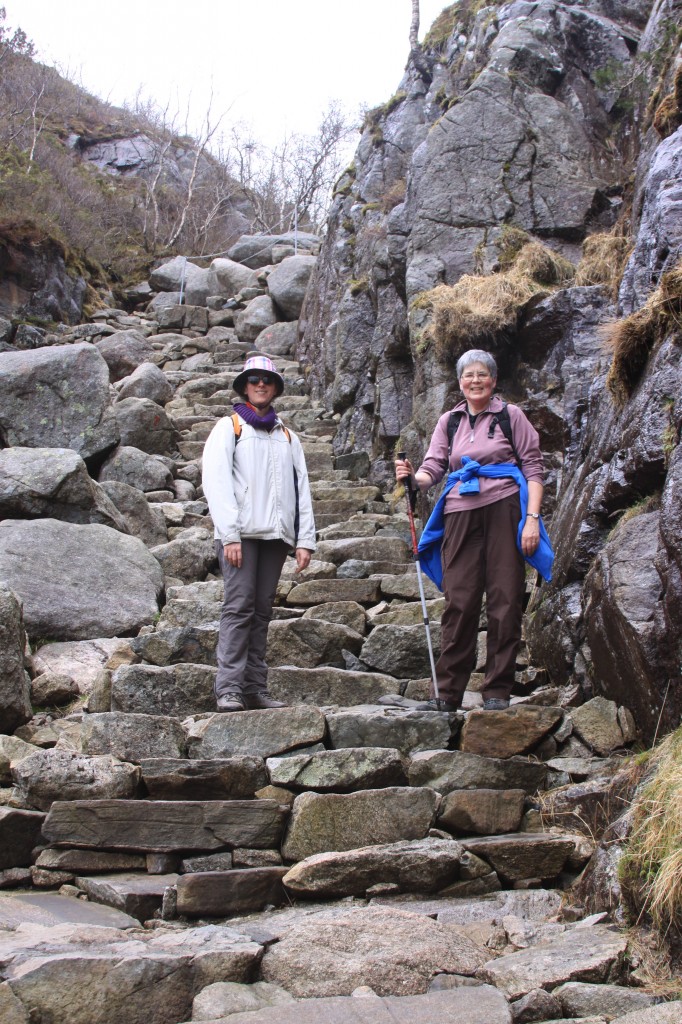
then up more stone steps - about halfway there

then up more stone steps - about halfway there

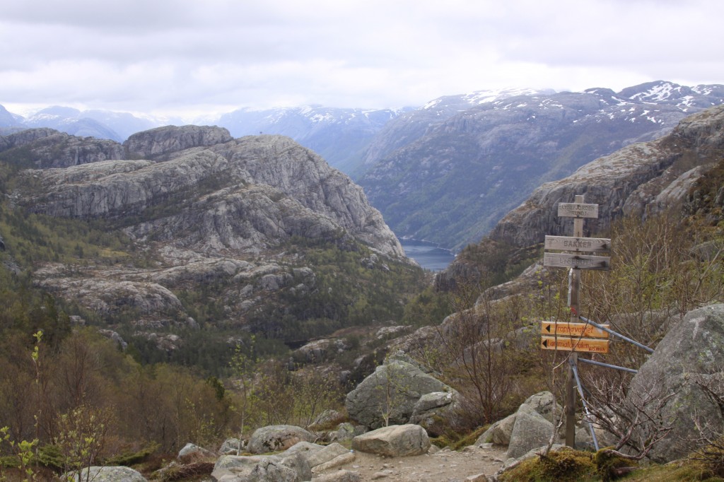
path junction, and first view of Lysefjord

path junction, and first view of Lysefjord

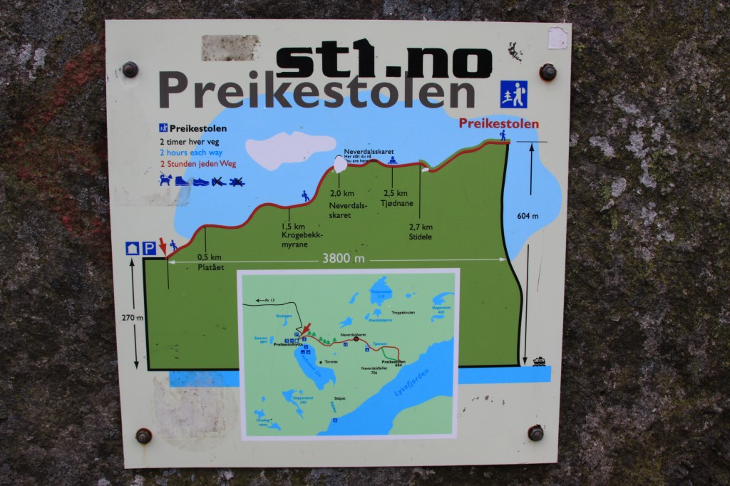
nice signs to show our progress towards Preikestolen

nice signs to show our progress towards Preikestolen

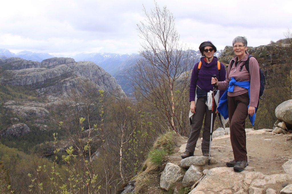
getting nearer to our destination

getting nearer to our destination

nearly there - Preikestolen appears in the distance

nearly there - Preikestolen appears in the distance

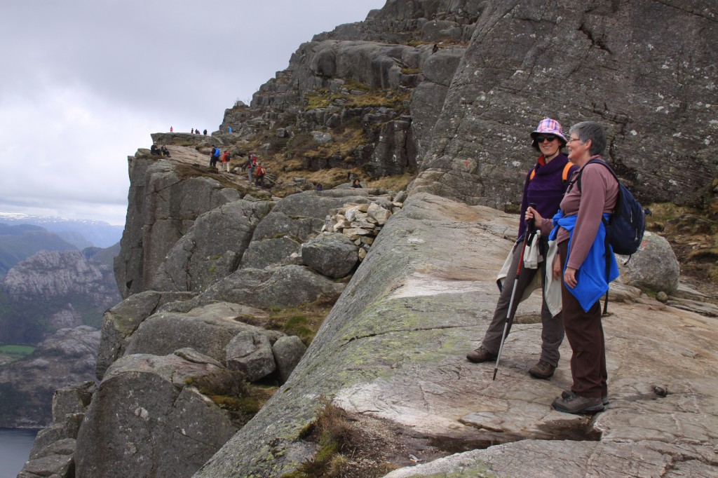
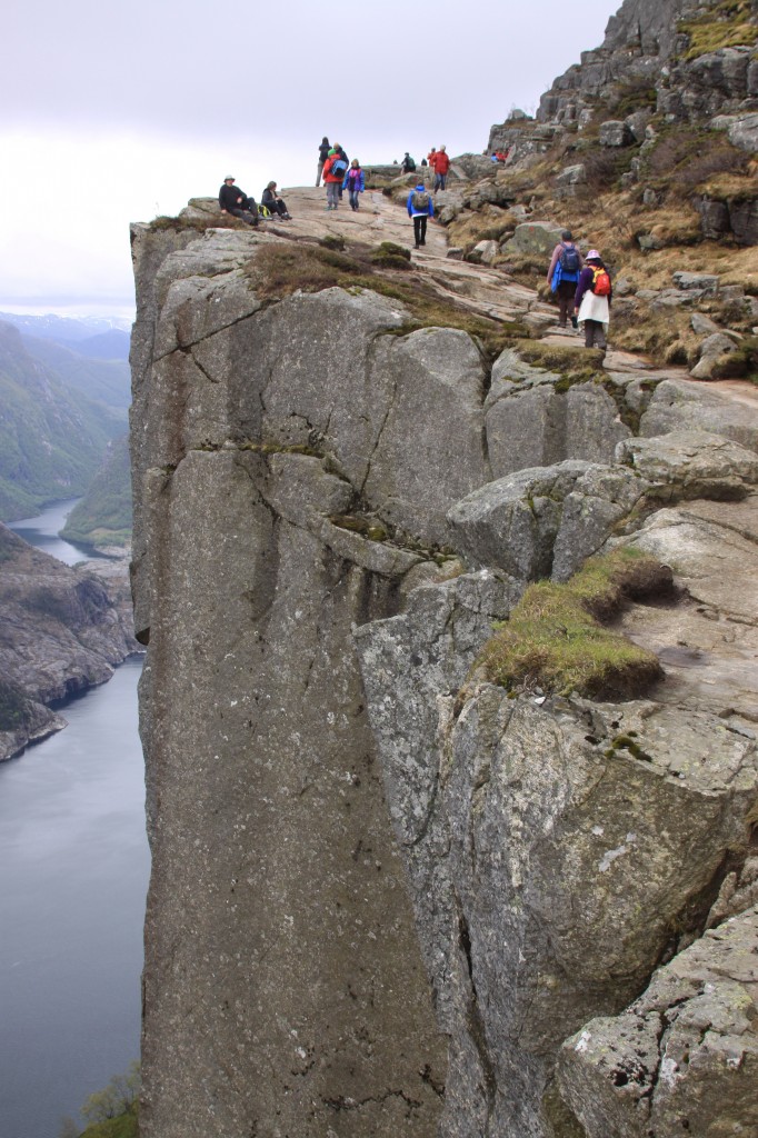
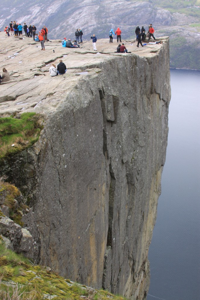
Now we were nearly there, with the 600m drop to Lysefjord right at the side of the path. No barriers – this is Norway!

walking along the cliff edge path towards Preikestolen

walking along the cliff edge path towards Preikestolen

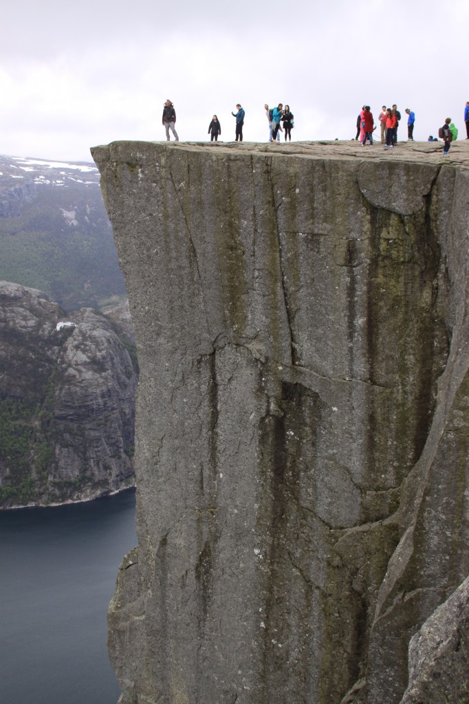
And, finally we arrive – what an amazing place!

Preikestolen - "the pulpit rock"

Preikestolen - "the pulpit rock"

is that Anne, getting a bit too close to the corner?

is that Anne, getting a bit too close to the corner?

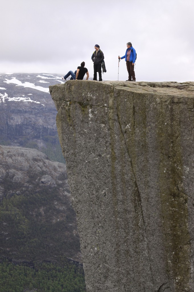
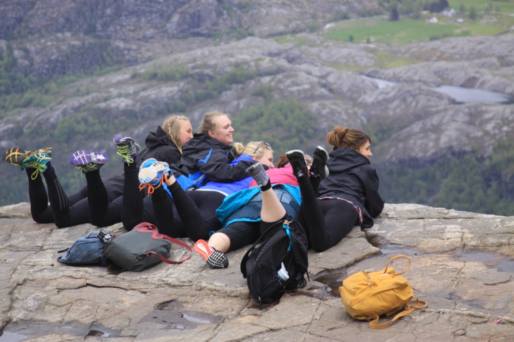
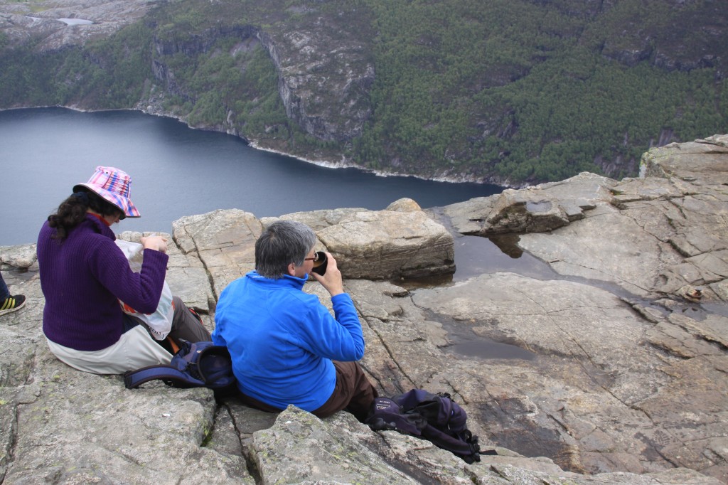
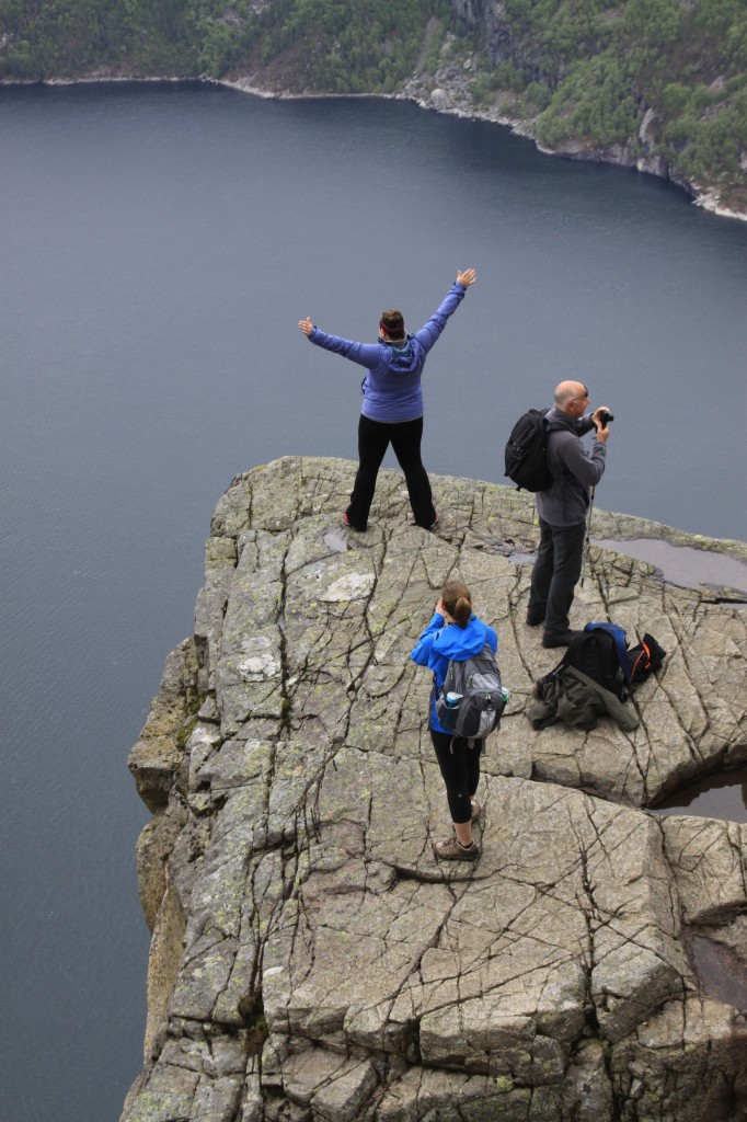
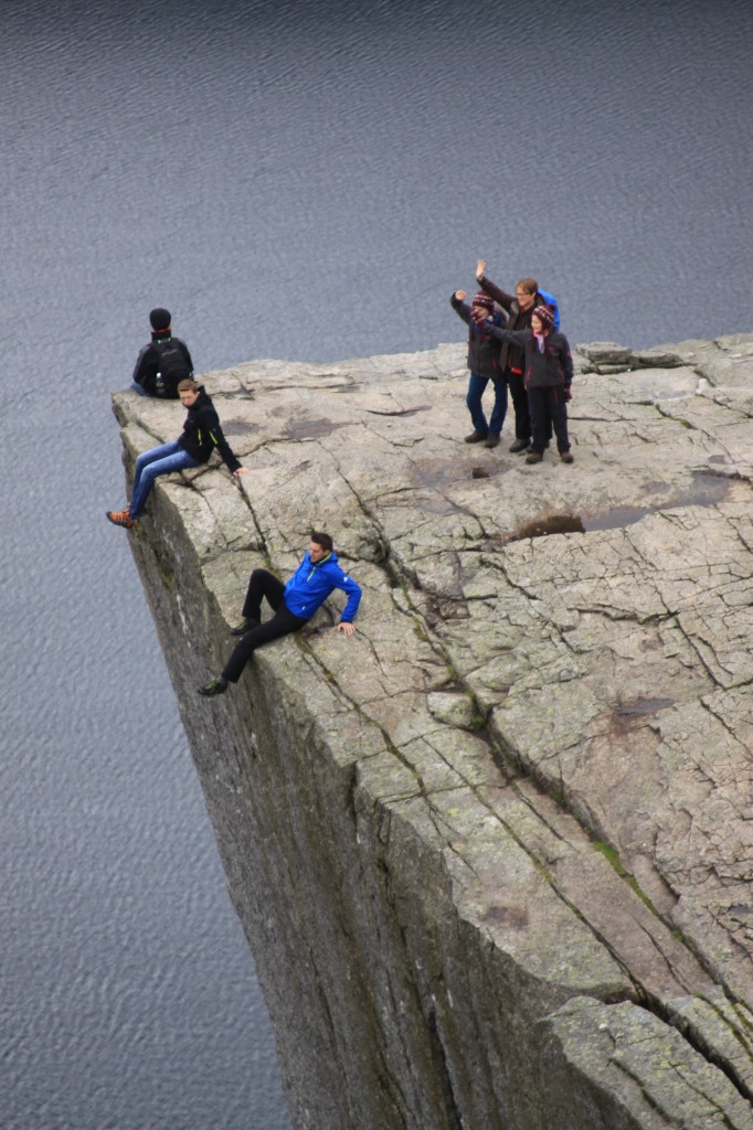
We spent a full hour up there, daring to dangle our feet (just) over the edge, watching braver (or more foolhardy) individuals sitting or standing right on the edge. Must be one of the mpst amzing places I have eaten a picnic lunch! The whole top is almost level, and it was swarming with people. We stepped across the great crack, hoping that today wasn;t the day when the whole rock would plunge down to the fjord below!

brave souls peering over the edge

brave souls peering over the edge

picnic on Preikestolen

picnic on Preikestolen

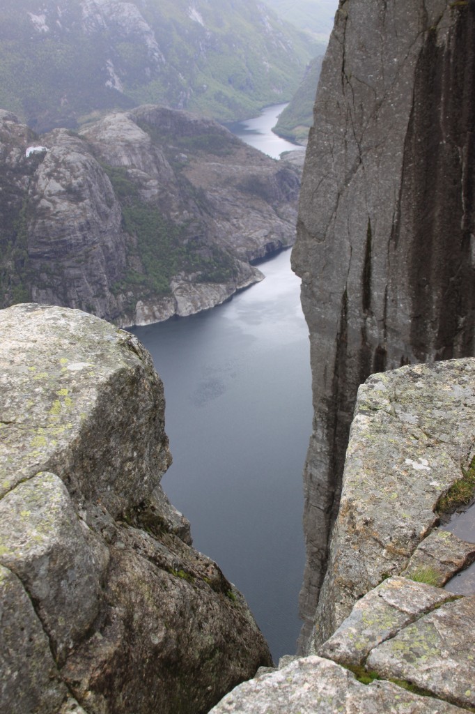
it's a long way down to Lysefjord

it's a long way down to Lysefjord

this is as close as I'm getting

this is as close as I'm getting

I couldn't do that!

I couldn't do that!

a seat for the brave! not me!

a seat for the brave! not me!

view of Preikestolen

view of Preikestolen

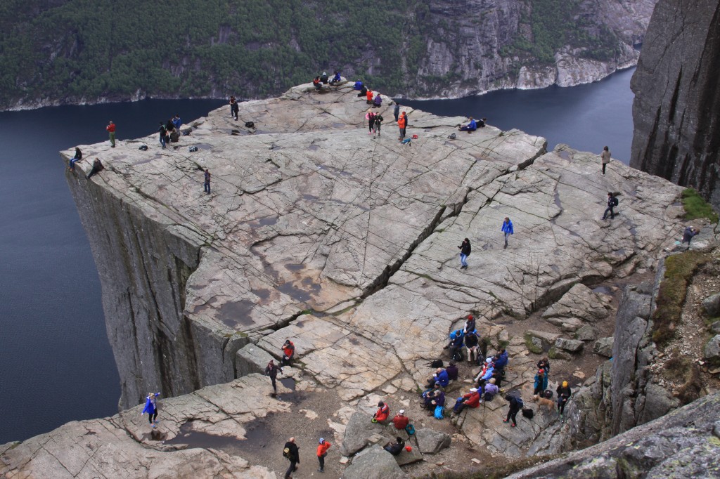
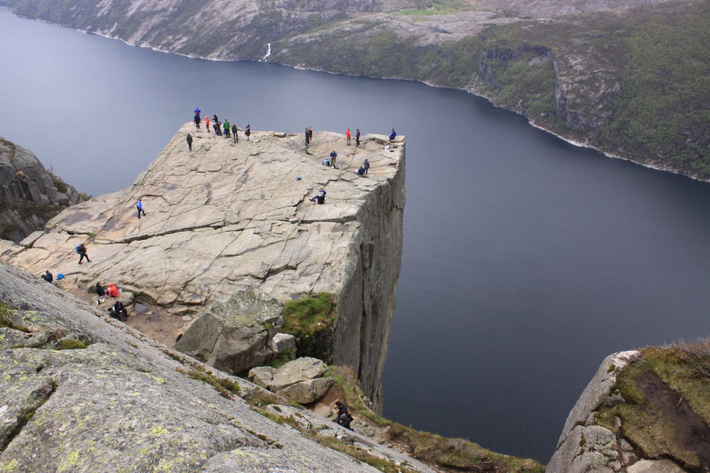
Finally, we managed to tear ourselves away, and climbed up the crag behind for dramatic views down on to the top of the rock.

Preikestolen from above

Preikestolen from above

Preikestolen from above

Preikestolen from above

With a final glance at this dramatic place, we headed on over the hill behind to descend by a slightly different route, away from the crowds.

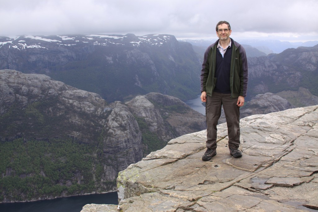
on the plateau, above Preikestolen

on the plateau, above Preikestolen

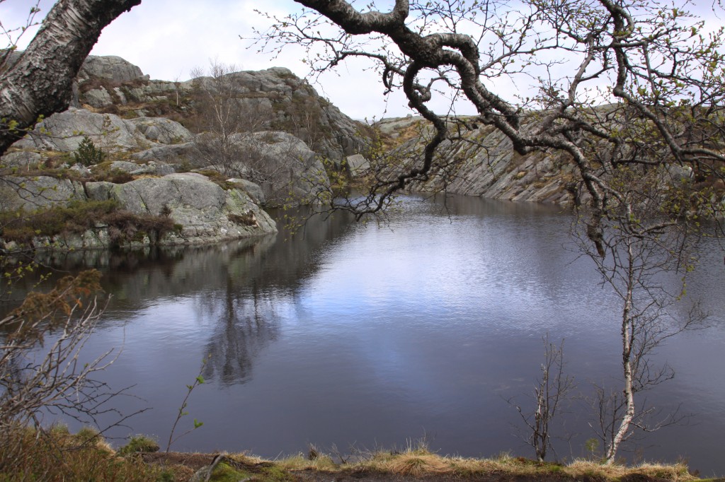
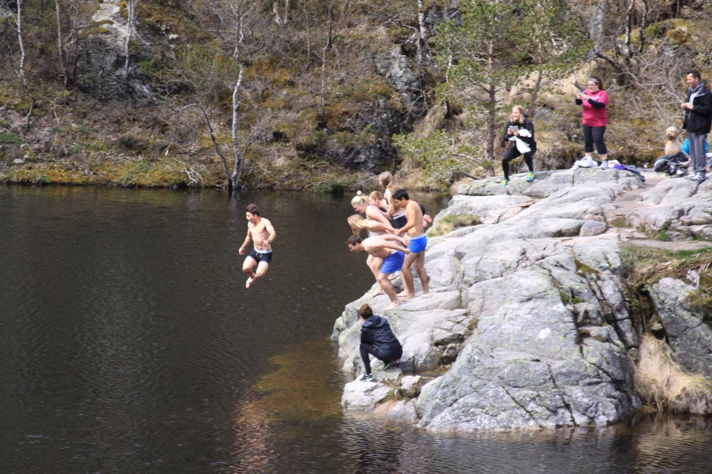
We donned our cagoules for a few minutes as we scrambled over rocks while a shower swept over us, but the air soon cleared again as we descended on the other side. Son we rejoined the main path, and continued down to the mountain lake, where we were entertained by a group of young people leaping into the cold water.

mountain lake on the Preikestolen path

mountain lake on the Preikestolen path

looks a bit cold to me!

looks a bit cold to me!

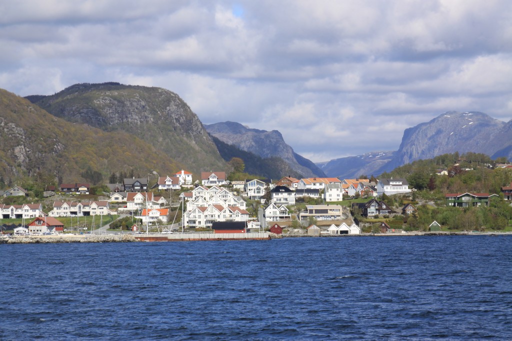
The path down gave us great views as we descended back to Preikestolen Fjellestue. We had time to explore the hostel and souvenir shop before boarding the coach at 4pm to take us back to Tau.  Lovely evening for a sail back to Stavanger.

view from the ferry on the way back to Stavanger

view from the ferry on the way back to Stavanger

Posted in Norway | 1 Comment

finally finished the far-flung “furths”

13 October 2014

Scottish Munros: compleated 1976 – 2011

Irish 3000s: compleated 1998 – 2012

Welsh 3000s: compleated 2007 – 2013

So, that just left the English ones, to “finish the furths”.

Well, I had climbed Skiddaw way back in 1976, Scafell and Scafell Pike in 1994, and Helvellyn in 1999.  But there remained two “tops” on Scafell Pike’s north ridge – Ill Crag and Broad Crag – to be climbed, which Iain and I had missed in 1994, by taking the Lingmell route.

A possible weekend trip to the Lake District in September 2013 was postponed due to poor weather, and a busy first half of 2014 slipped by, but in October we headed off down to a log cabin at Fisherground (recommended) in Eskdale, hoping for a decent day during the week.

And so it was, on the Monday of our week, that Anne and I set out to drive up to Wasdale Head.   Arriving there at 9.30 am in a nearly empty car park, things didn’t look too promising – cloud on the tops and a strong wind blowing. However, we decided to go for it anyway, and set off up the path.

It felt pretty wild and desolate as we headed up the well-worn path leading to Sty Head Pass.  About half and hour after leaving the car, I realised that I had left my camera in the car, so no photos en route in this blog post.  I considered going back for it (for about 5 seconds), but given the weather, it looked like I wouldn’t miss it, so on we went.  A good lakeland path, so we made steady upward progress and reached Sty Head pass at 10.55 am.  Even windier up here, so we ‘cooried doon’ behind a large boulder for a rest.

Despite the wind, the cloud seemed to be lifting a little, so we decided to press on up past Sprinkling Tarn and on to Esk Hause.  Now we were in the mist, but it was a dry mist, and the wind had lessened, so again we pressed on upward.  After a further 10 minutes, and a chat with a couple coming down who weren’t quite sure where they were and had turned back before the top, we stopped for some lunch.  We were now at 850 m, and about 1 km from Ill Crag, our first target, so starting to feel like we would make it.

The path soon levelled out on the broad ridge between Great End and Ill Crag.  Up to that point, route-finding had been easy with paths like mountain motorways.  Now we needed to branch off across the stony plateau, so tie to dig out the compass.  Just at that moment, the mist rose slightly, and we could see Ill Crag just ahead of us.  A couple of hundred metres across the stony plateau, then a short bouldery scramble and we were at the top.  Just to be sure, I headed across to the other top as well!

Ill Crag would be a fine viewpoint, but not this day. The mist continued to come and go, with both Broad Crag and Scafell Pike appearing and disappearing repeatedly.  After a brief stop, we headed back to the path, and followed it down to a col then up the southern shoulder of Broad Crag.

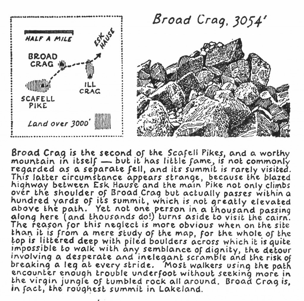
Wainwright is fairly scathing about Broad Crag:

Broad Crag according to Wainwright

The scramble across the boulder field from the path to the top was indeed pretty hard going.  However, we manage it without “breaking a leg” and reached the top of my final Furth at 1.25 pm.  The mist had now risen well clear of the summit, so we did get a view, and lamented the lack of camera to record the moment.

So, where next?  Mission complete, but the summit of Scafell Pike was only  a few minutes away, and Anne hadn’t been up there before, so we teetered our way back down to the path, then down to the intervening col, and on up to Scafell Pike itself.  For a couple of minutes just after 2 pm, we were the two highest people in England as we struggled to stay upright in the fierce wind on top of the massive cairn.  It was nice and sheltered behind the cairn, though, so time for a second lunch.

Next decision – which way down?  We decided to descend to Mickledore for a closer look at the notorious Broad Stand and Lord’s Rake.  That was fine, but then we had an uncomfortable 15 minutes descending the steep scree gully to the top of Brown Tongue.  I would advise descending by the Lingmell col next time!

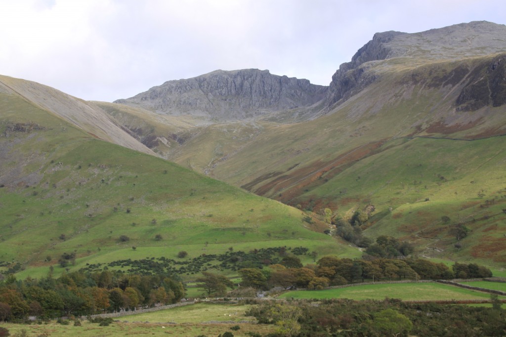
Lingmell, Scafell Pike and Scafell

Lingmell, Scafell Pike and Scafell from Wastwater. Our route went up the valley to the left of Lingmell, and on to Scafell Pike from behind. The descent was from Mickledore, the col between Scafell Pike and Scafell, then down the yellowish hump in front of Scafell Pike, and finally - the lovely walk slanting across the green/yellow slope in front of Lingmell.

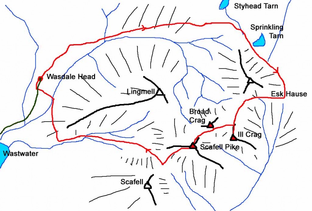
From here, the next hour was a gruelling descent down a built path.  Stone staircases are great for ascent and reduce erosion, but are hard going and unforgiving in descent on tired legs!  Back down to 200 m, we struck off right on a delightful little path which contoured round the western end of Lingmell, and then back down to Wasdale Head and the car (and camera!)

Scafell Pike map

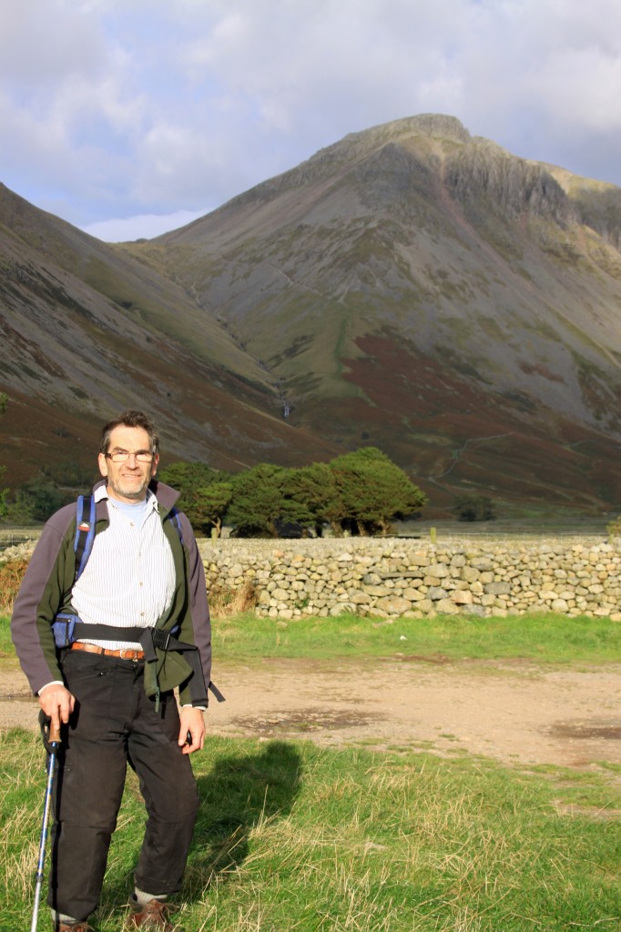
David at Wasdale Head

David at Wasdale Head - Kirk Fell in background, and our path heading off to the right

Good views looking back in the evening light.

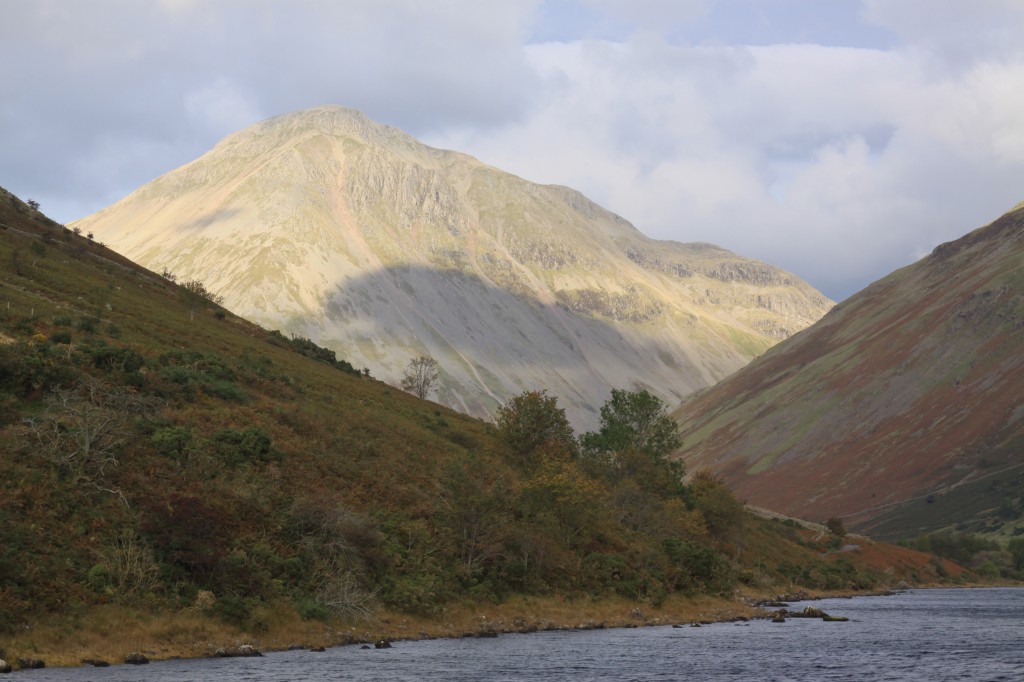
Great Gable

Great Gable towers over Wasdale head

Summary:
12 km walk
1020 m climb
7 hours

Log:

Wasdale Head (70 m)
09:35
Styhead Pass (500 m) 10:55 – 11:05
Esk Hause (760 m) 12:05
lunch stop (850 m) 12:15 – 12:25
Ill Crag (930 m)
13:00 – 13:05
Broad Crag (934 m) 13:25 – 13:35
Scafell Pike (977 m) 14:05 – 14:20
Mickledore (885 m) 14:40
Wasdale Head
16:30

(written and uploaded 19/10/14)

and here they all are for the record …

table of Furths climbed


Posted in england, furth | 2 Comments