8 July 2013
After a “rest day” – long lie – cycle run to Capel Curig for lunch – wander up Little Tryfan in evening – Monday 8th July dawned another hot and hazy day. The Carneddau beckoned!
I had looked at ways to divide the Carneddau (7 tops) into two sensible routes, but decided that it would be best just to go for the whole range in a oner, starting and finishing at the campsite. It was a good plan, but maybe the hottest day (so far) of the summer wasn’t the best opportunity! Two Royal Marines were to die of heat exhaustion not far away on the Brecon Beacons on this day.
Anyway, we set off from the campsite at 8.50am, reckoning to get the worst of the hard work over before midday.
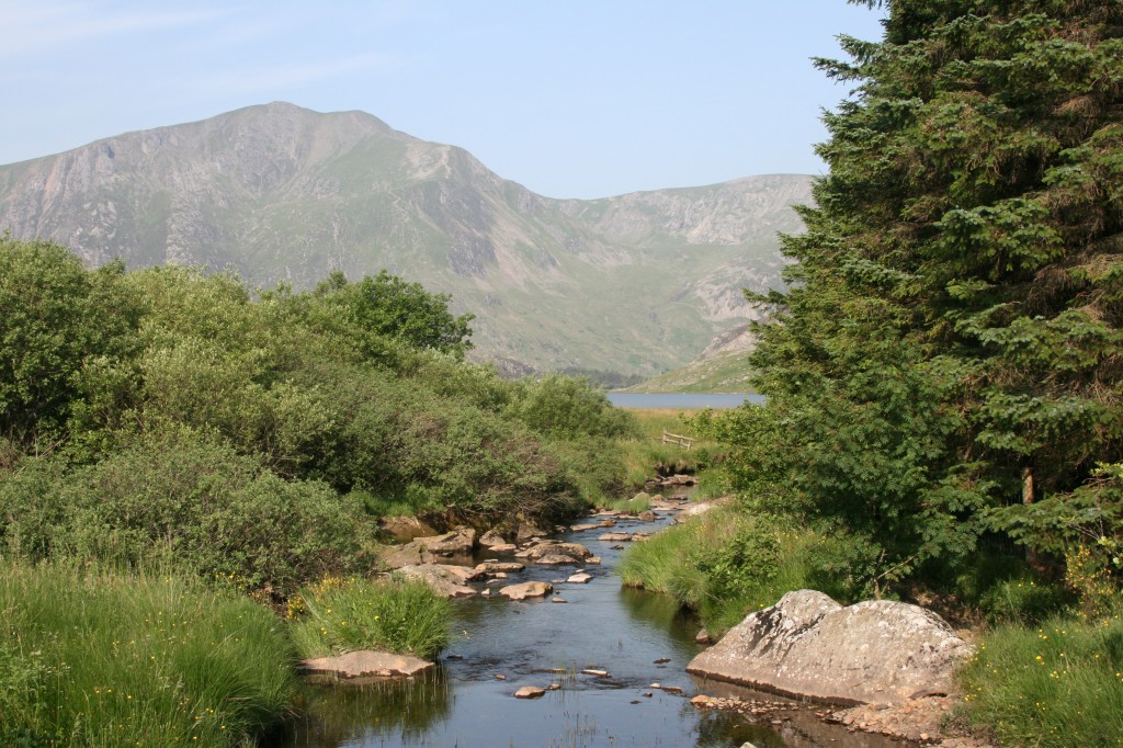
view towards Y Garn and Llyn Ogwen as we crossed the Afon Llugwy at the start of our walk
Our route started along the path behind the farmhouse, crossed over the A5, and up the track towards Tal y Llyn Ogwen farm. Behind the farm, we followed a wandering path up the hillside, crossing the Afon Lloer, and rising steadily up from the valley. By 9.30am, the heat of the day was already bearing down on us!
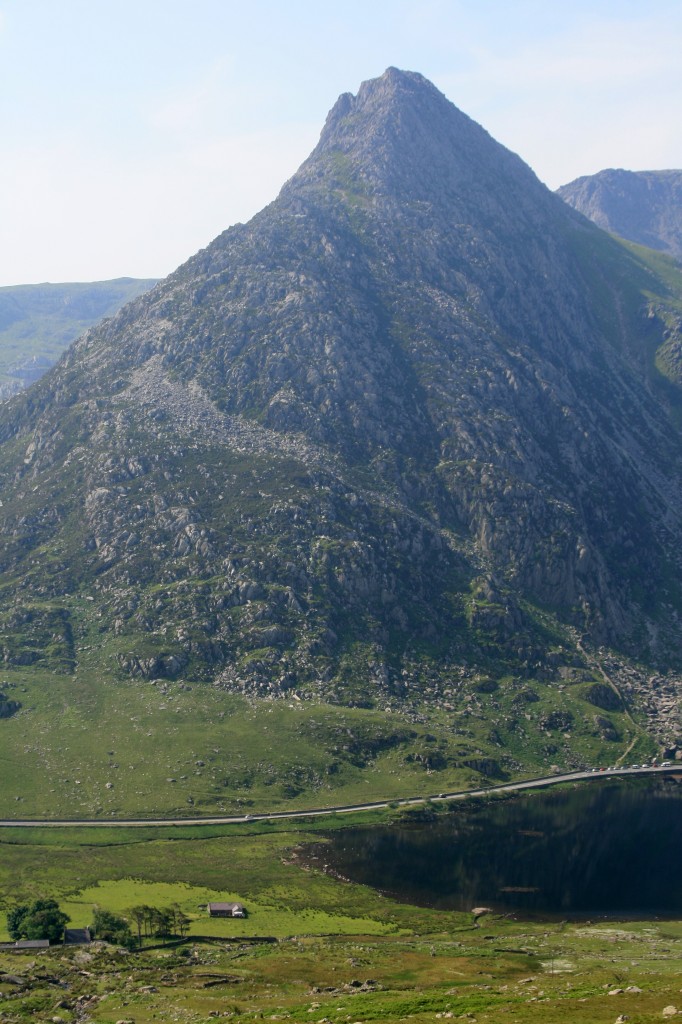
looking across to the north ridge of Tryfan from above Tal Y Llyn Ogwen
After about an hour, we were up to about 600m, where the stream runs through a narrow gap, and our path branched off to the left up the east ridge of Pen yr Ole Wen (“Head of the white slope”. This was an interesting little climb, with one steep rocky section, then a steady pull up to the summit, which we reached at 11.15.
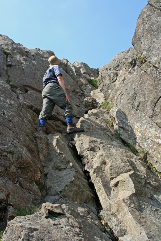
on the east ridge of Pen yr Ole Wen
Time for a rest, and chance to admire the views, especially across the Ogwen valley to Y Garn and the hills we had explored on Saturday.
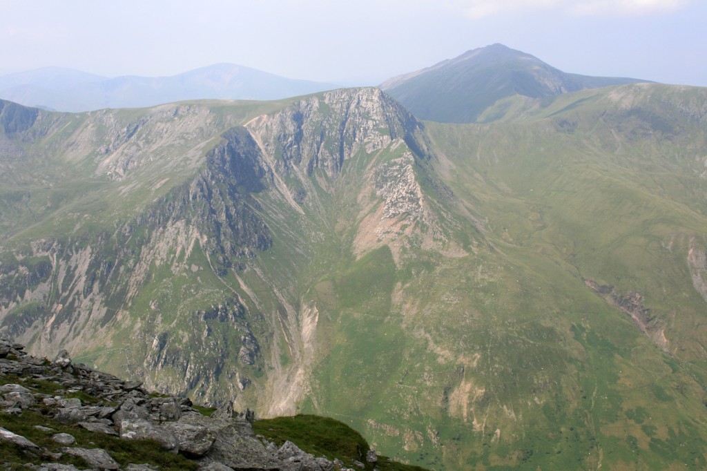
towards Foel Goch and Elidir Fawr from Pen yr Ole Wen
One down, six to go, so we couldn’t linger. The main hard work of the day was now over, as the route ahead was almost entirely staying above 900m. The next section was a straightforward walk along a broad ridge, passing the massive cairn of Carnedd Fach (which, ironically, means small cairn!) en route to the summit of Carnedd Dafydd (“David’s Cairn”).
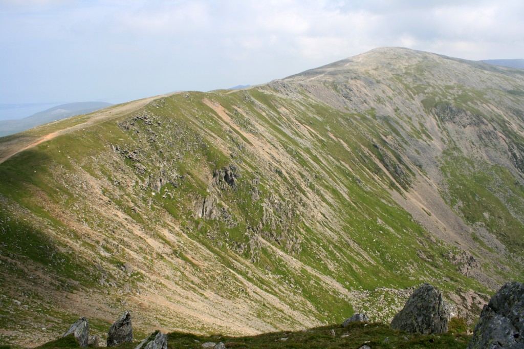
Carnedd Dafydd from Pen yr Ole Wen
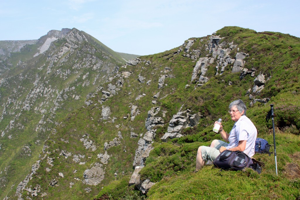
Time for another rest, while admiring the views across the huge cwm to Carnedd Llewellyn (“Llewellyn’s Cairn”) and Yr Elen (“The Nymph”). Two down, five to go!
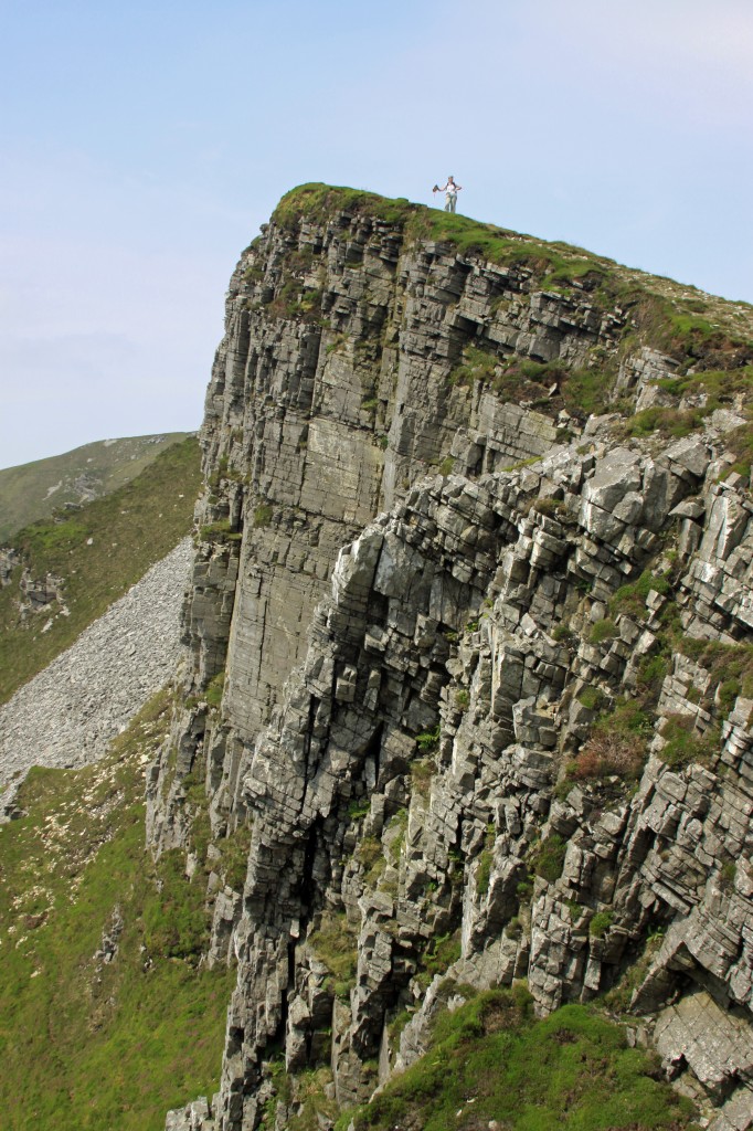
Now the path, turning towards the east, dropped down along Caef Ysgolion Duon (“the ridge of the black ladders”), with cliffs to the left, and steep grassy boulder-strewn slopes to the right. A bouldery outcrop was passed on its right, then the path dropped further to a narrow col with a rather tautological name: Bwlch Cyfrwy-drum (“col of the saddle ridge”) at 933m. A short steady climb up a rough path brought us up the shoulder on to the rocky plateau of Carneddd Llewellyn.
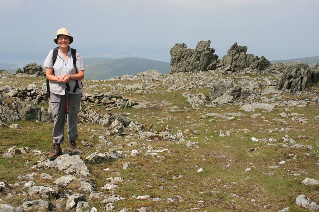
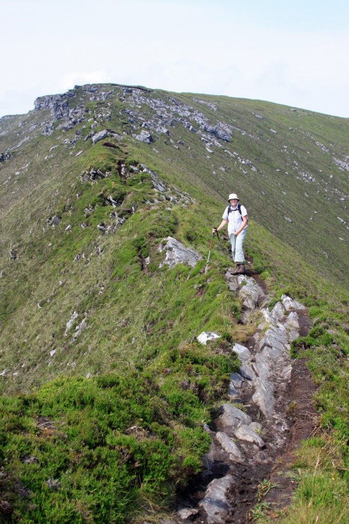
Anne on the summit plateau of Carnedd Llewelyn
We didn’t pause at the cairn, but continued on across the plateau through some strange rocky outcrops on the north west side, and dropped down to a broad grassy ledge overlooking Yr Elen – a good place to stop for some lunch.
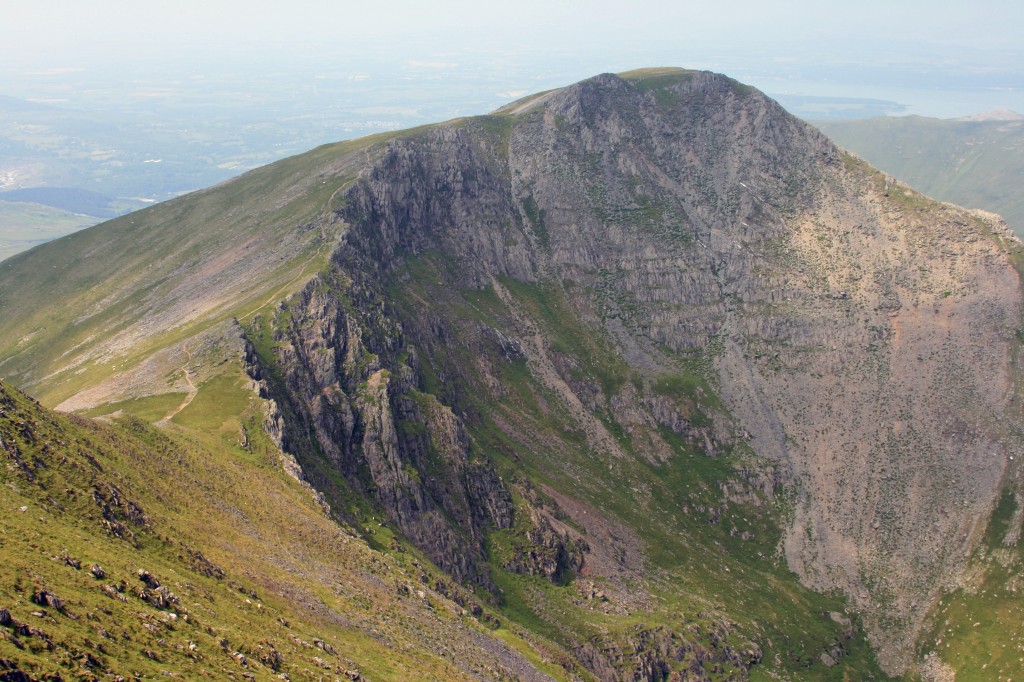
Yr Elen from Carnedd Llewelyn
Unfortunately, Yr Elen lies off the main ridge, so meant an out and back detour, but it is probably the most attractive-looking of the 7 summits, reached along a gracefully curving 1km long ridge. The ascent from the intervening col is only 50m, so we were soon standing on its prickly summit.
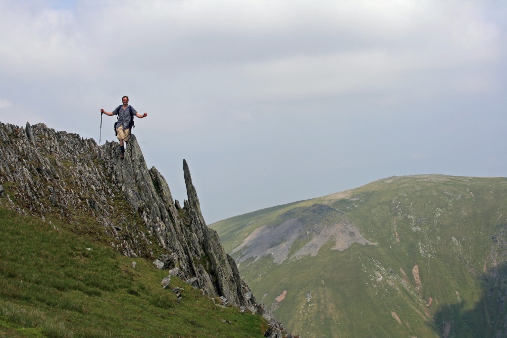
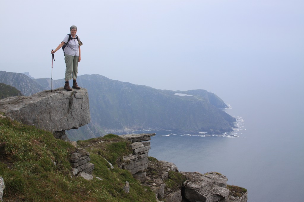
on the summit of Yr Elen, with Garnedd Uchaf in the distance
By now it was getting seriously hot, and our water supplies were running low. However, looking across Cwm Caseg, we could see a small stream rising not far from the path, just below the col beyond Carnedd Llewellyn. We returned along Yr Elen’s curved ridge, and the contoured across the west face of Llewellyn at around 1000m to reach the col we had spied from Yr Elen. This was a broad grassy col, and we had to detour a few hundred metres west to find the first trickle of water from a spring. However, it was running clear, so we were able to replenish our water bottles, slake our thirst, and continue on our way.
Now, the character of the hills changed. We were leaving behind the crags and cliffs, and heading into a rolling moorland. The remaining 3 tops were really no more than high points on the moor, with broad swathes of grass between them.
We soon reached and crossed the first of these – Foel Grach (“scabby hill”) – presumably named for the rocky outcrops on its summit. Just below us, we found a small mountain rescue hut – hard to imagine what it might be like up here in a winter storm. Despite its unattractive name, we rested on its summit rocks for 15 minutes or so, before continuing across the moor towards the next top, Carnedd Uchaf (“upper hill”). Perhaps it looks high from the north! A short detour across a boulder field ensured that its summit was reached.
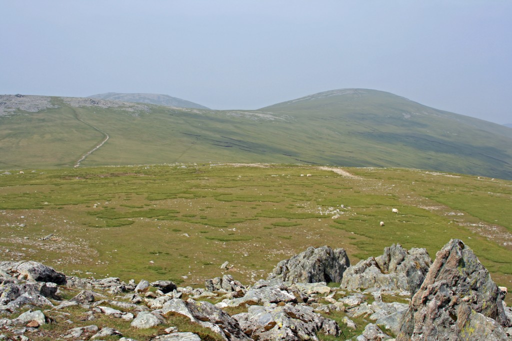
view across the moors towards Garned Ucahf (left) and Foel-fras (right) from Foel Grach
Only one more summit to go! A mile’s tramp across the moor led us to yet another boulder-strewn summit, Foel-fras (“broad hill”). At last we were standing on our final Welsh 3000, a cairn amid another boulder-field beside the corner of a dry stane dyke – quite a contrast to Tryfan or Crib Goch!
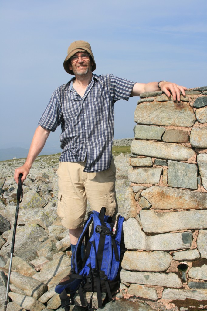
David at the summit cairn of Foel-fras, his final Welsh 3000!
Ten minutes rest, then time to head home. The only problem was that “home” was still 8 miles away, we were tired, and we had three 3000m tops to (re-)traverse the get back!
So, back down the path from Foel-fras, chatting to some wild ponies over the wall, and across the dry moorland towards Foel Grach, taking a short-cut path by-passing Garnedd Uchaf. On Foel Grach, we skirted round the east side, taking a look at the mountain recue hut, and then stopped for a short rest looking towards Carnedd Llewelyn. The next mile involved 140m of re-ascent to Carnedd Llewelyn, but it was fairly easy going around the edge of its eastern cwm, and in half an hour we were on the summit. We now left our outward route, and headed down the eastern ridge. Time for another rest part way down the ridge.
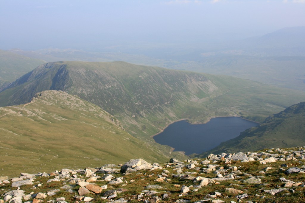
from Carnedd Llewelyn, view towards Pen Yr Helgi Du and the Ffynnon Llugwy resevoir
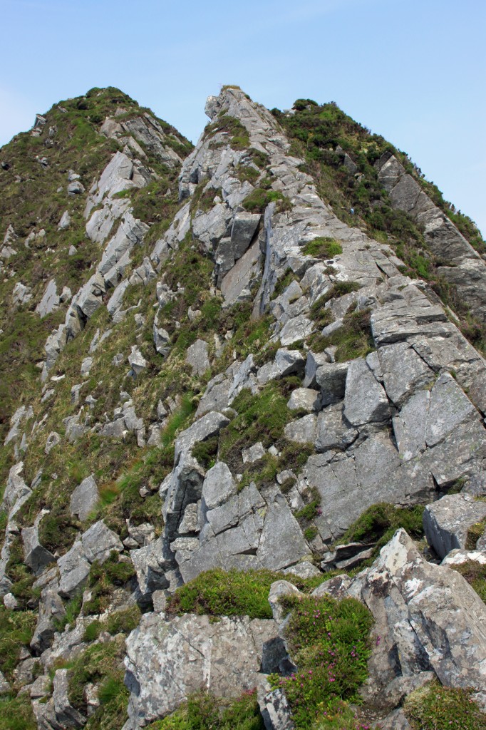
The ridge had a good path, and wound its way down through some rocky sections above the cliffs of Craig yr Ysfa to a very narrow col, Bwlch Ery Farchog at 800m. From here, we had a choice: drop down directly to Ffynnon LLugwy reservoir, or climb up and over Pen yr Helgi Du (“hill of the black dog”). The climb looked enticing, so we decided to go for it. It involved a 15 minute enjoyable scramble up a steep nose, a 10 minute rest on top, then a rather tiresome trudge down its long grassy ridge. With hindsight, I think we maybe should have gone directly down to the reservoir.
Anyway, we trekked on down, then slanted right after passing through a wall, until we reached a curious lade running almost horizontally across the hillside. Apparently, this “leat” carries water from one reservoir to another.
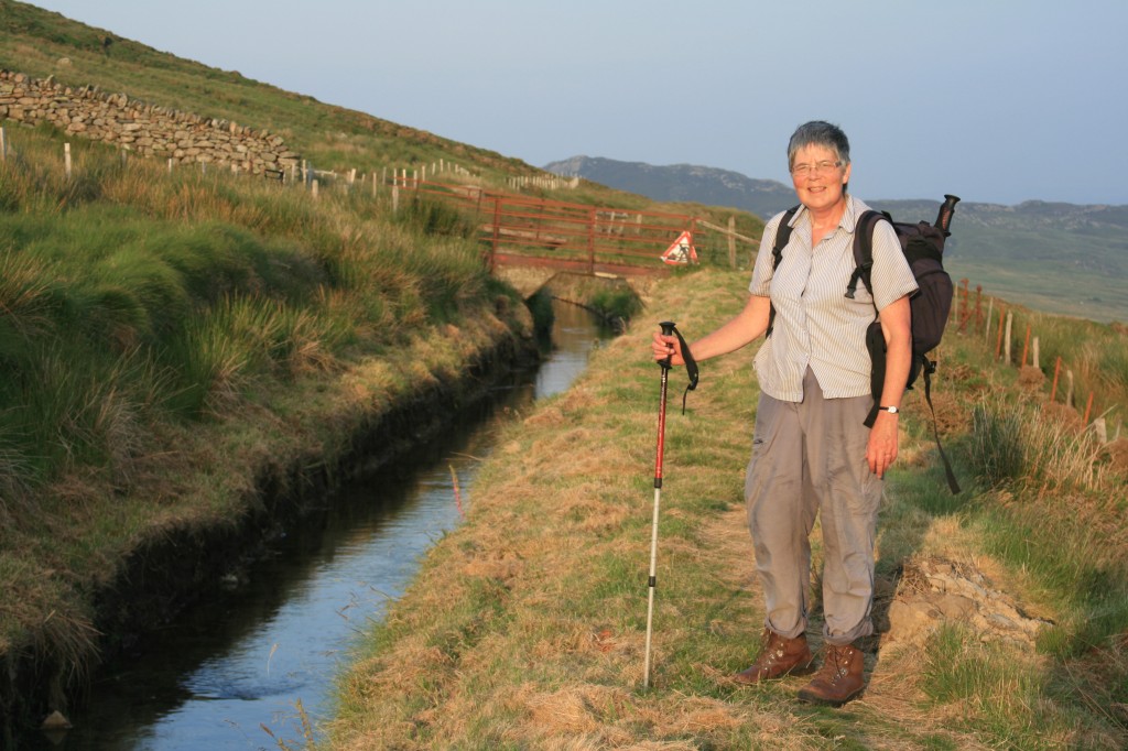
walking alongside the leat in the evening sun (8pm)
We were glad to be able to walk alongside it for a few hundred metres to reach the water board road. Nearly “home”! A trundle down the steep private road (wishing we had bikes) to reach the A5, then a mile back to our campsite. 12 hours 20 minutes since we left! Collapsed exhausted! Mission accomplished!
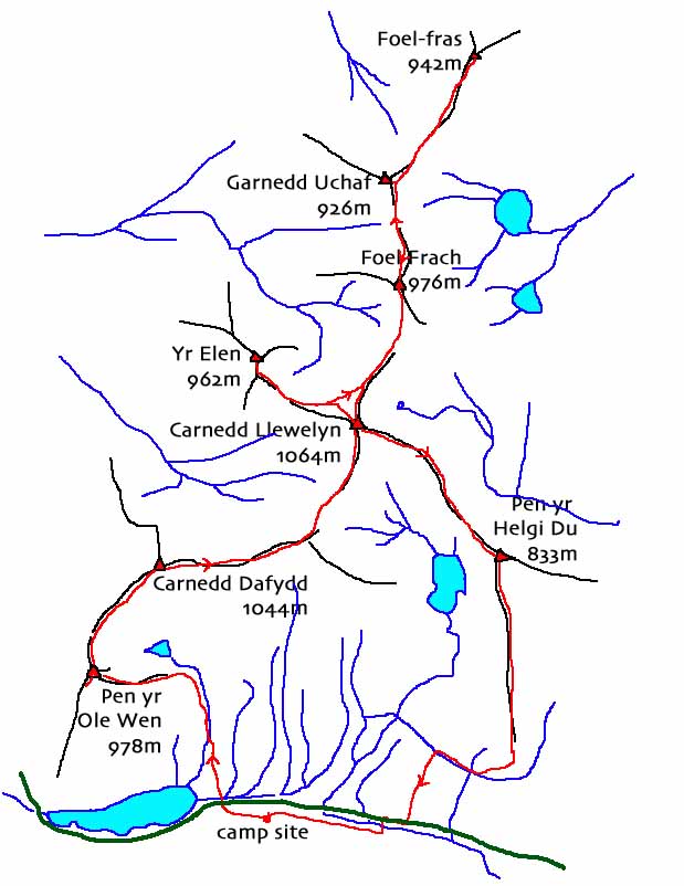
Carneddau route map
Summary:
27 km walk
1500 m climb
12 hours 20 mins
Log:
| Gwern Gof Uchaf camp site (315 m) |
08:50 |
| Pen yr Ole Wen (978 m) |
11:15 – 11:35
|
| Carnedd Dafydd (1044 m) |
12:15 – 12.30
|
| Carnedd Llewelyn (1064 m) |
13:35/40 – 13:55
|
Yr Elen (962 m)
|
14:20 – 14:30
|
| Foel Grach (976 m) |
15:40 – 15:55
|
| Garned Uchaf (926 m) |
16:10 – 16:15
|
| Foel-fas (942 m) |
16:45 – 16:55
|
| Foel Grach (976 m) |
17:40 – 17:50
|
| Carnedd Llewelyn (976 m) |
18:20 – 18:35
|
| Pen yr Helgi Du (833 m) |
19:35 – 19:45
|
Gwern Gof Uchaf camp site (315 m)
|
21:10 |
(written and uploaded 09/01/14)

